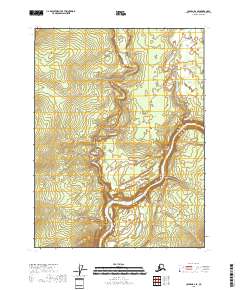
2018 Map of Coleen B-2 SE
USGS Topo · Published 2018About this map
The Porcupine River carves a deep path through this corner of the Yukon-Koyukuk region, revealing the geological transitions of the Upper Ramparts. The river’s course is punctuated by the Half-Way Pillar, a distinct natural landmark along the southern bank. Further north, the Rapid River winds through the interior before joining the Porcupine, while White Mountain Cr drains the northeast reaches. The land here remains largely defined by its drainage patterns and the township and range lines of the Public Land Survey System, showing a vast wilderness area before any modern infrastructure or settlement took hold in this section of the interior.
Find a feature on this map
9 named features on this map. Tap any name to fly to it.
Don’t see what you’re looking for? This feature index may not catch every label — zoom into the map to look around manually.
Map Details
Editions of this 2018 Coleen B-2 SE Map
This is the sole edition of this map. No revisions or reprints were ever made.
Other maps of this area

1951 · Coleen
USGS Topo · 1:250,000

1956 · Coleen
USGS Topo · 1:250,000

1956 · Coleen B-2
USGS Topo · 1:63,360
1956 · Coleen B-1
USGS Topo · 1:63,360

1956 · Coleen A-1
USGS Topo · 1:63,360

1956 · Coleen A-2
USGS Topo · 1:63,360
2018 · Coleen A-2 NW
USGS Topo · 1:25,000
2018 · Coleen B-1 SW
USGS Topo · 1:25,000
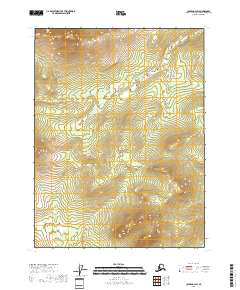
2018 · Coleen B-2 SW
USGS Topo · 1:25,000
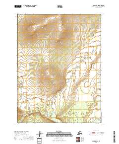
2018 · Coleen B-2 NE
USGS Topo · 1:25,000