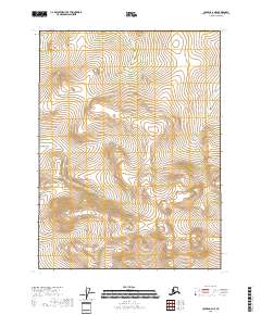
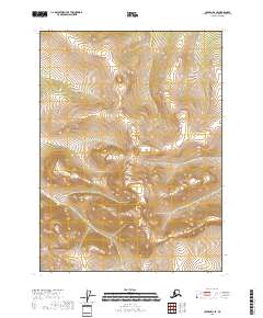
2018 Map of Coleen C-2 NE
USGS Topo · Published 2018About this map
Strangle Woman Creek winds through the high terrain of the Yukon-Koyukuk Census Area in this remote corner of northeast Alaska. The map details a landscape primarily defined by its topographical elevation and the Public Land Survey System divisions, including sections of t34n r27e, t33n r27e, and t33n r28e. This 2018 survey provides an intricate look at the watershed of the creek as it moves through the Arctic interior. The lack of man-made structures, roads, or named settlements reflects the region's character as a vast, undeveloped expanse where natural drainage patterns like Strangle Woman Creek dictate the geography. The map is a critical reference for understanding the precise township and range boundaries that define land management in this portion of the Alaska North Slope interior.
Find a feature on this map
9 named features on this map. Tap any name to fly to it.
Don’t see what you’re looking for? This feature index may not catch every label — zoom into the map to look around manually.
Map Details
Editions of this 2018 Coleen C-2 NE Map
This is the sole edition of this map. No revisions or reprints were ever made.
Other maps of this area

1951 · Coleen
USGS Topo · 1:250,000

1956 · Coleen
USGS Topo · 1:250,000
1972 · Coleen D-2
USGS Topo · 1:63,360
1972 · Coleen D-1
USGS Topo · 1:63,360
1990 · Coleen C-2
USGS Topo · 1:63,360
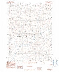
1990 · Coleen C-1
USGS Topo · 1:63,360
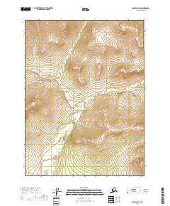
2018 · Coleen C-1 SW
USGS Topo · 1:25,000
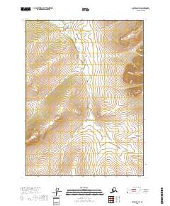
2018 · Coleen D-1 SW
USGS Topo · 1:25,000
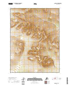
2018 · Coleen C-2 SE
USGS Topo · 1:25,000
2018 · Coleen D-2 SE
USGS Topo · 1:25,000