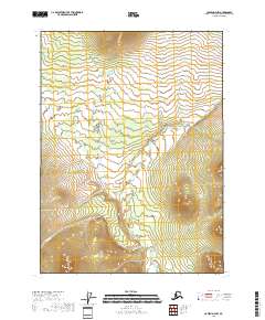
2018 Map of Coleen D-4 NW
USGS Topo · Published 2018About this map
Joanna Cr and Pass Cr define the hydrological character of this high-latitude terrain within the Yukon-Koyukuk Census Area. The 2018 survey emphasizes the natural drainage patterns of this subarctic landscape, where water courses dictate the layout of the land across several township and range divisions, including t36n r21e and t37n r22e. The mapping illustrates a region devoid of permanent structures or roads, presenting a purely topographic study of elevation and water flow. This specific configuration of stream valleys and ridges provides a baseline for understanding the unchanged geography of the Coleen D-4 NW quadrangle as it remains in the early twenty-first century.
Find a feature on this map
9 named features on this map. Tap any name to fly to it.
Don’t see what you’re looking for? This feature index may not catch every label — zoom into the map to look around manually.
Map Details
Editions of this 2018 Coleen D-4 NW Map
This is the sole edition of this map. No revisions or reprints were ever made.
Other maps of this area

1951 · Coleen
USGS Topo · 1:250,000

1951 · Table Mountain
USGS Topo · 1:250,000

1956 · Table Mountain
USGS Topo · 1:250,000

1956 · Coleen
USGS Topo · 1:250,000

1964 · Table Mountain
USGS Topo · 1:250,000
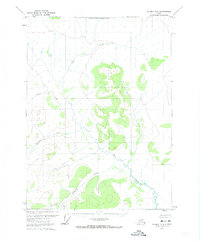
1972 · Coleen D-4
USGS Topo · 1:63,360
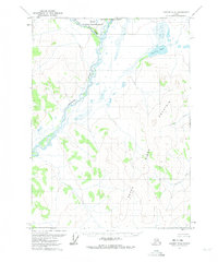
1972 · Coleen D-5
USGS Topo · 1:63,360
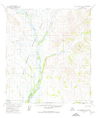
1972 · Table Mountain A-4
USGS Topo · 1:63,360
1972 · Table Mountain A-3
USGS Topo · 1:63,360
2018 · Coleen D-4 NE
USGS Topo · 1:25,000