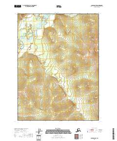
2018 Map of Coleen D-5 SW
USGS Topo · Published 2018About this map
The Sheenjek River meanders through the western corridor of this interior Alaska wilderness, establishing the primary drainage pattern for the surrounding highlands. This 2018 survey detail shows a landscape defined by sharp topographic relief and glacial hydrology, where the river valley creates a stark contrast to the upland terrain. The map serves as a technical record of the public land survey system divisions, including t35n r19e and t34n r19e, which are plotted against the natural contours of the Yukon-Koyukuk region. Researchers and land managers can trace the exact course of the river as it shifts through its floodplain, providing a baseline for understanding the shifting environmental conditions and land boundaries in one of the most northern reaches of the United States.
Find a feature on this map
5 named features on this map. Tap any name to fly to it.
Don’t see what you’re looking for? This feature index may not catch every label — zoom into the map to look around manually.
Map Details
Editions of this 2018 Coleen D-5 SW Map
This is the sole edition of this map. No revisions or reprints were ever made.
Other maps of this area

1951 · Coleen
USGS Topo · 1:250,000

1956 · Coleen
USGS Topo · 1:250,000
1972 · Coleen D-5
USGS Topo · 1:63,360

1972 · Coleen D-6
USGS Topo · 1:63,360
1983 · Coleen C-6
USGS Topo · 1:63,360
1990 · Coleen C-5
USGS Topo · 1:63,360
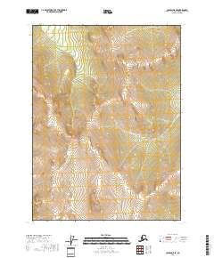
2018 · Coleen D-5 SE
USGS Topo · 1:25,000
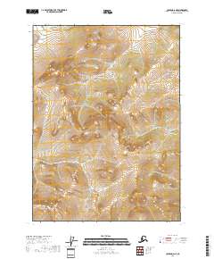
2018 · Coleen D-6 NE
USGS Topo · 1:25,000
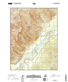
2018 · Coleen D-6 SE
USGS Topo · 1:25,000
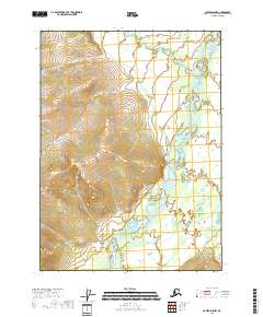
2018 · Coleen D-5 NW
USGS Topo · 1:25,000