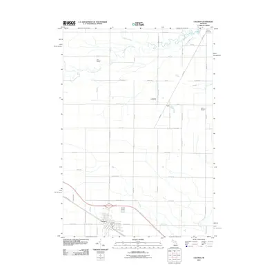
2011 Map of Coleman
USGS Topo · Published 2011About this map
The city of Coleman anchors the southwestern corner of this Midland County landscape, where the local street grid meets the Isabella County Line Rd. The surrounding territory is defined by a dense network of sectional roads and the industrial presence of the West Beaverton Oil Field and the South Beaverton Oil Field. These fields indicate the area's long-standing connection to resource extraction, set against a backdrop of wooded parcels and creek drainages. Moving north, the settlement of Lyle sits near a prominent Railroad corridor that cuts diagonally through the townships.
Find a feature on this map
48 named features on this map. Tap any name to fly to it.
Don’t see what you’re looking for? This feature index may not catch every label — zoom into the map to look around manually.
Map Details
Editions of this 2011 Coleman Map
This is the sole edition of this map. No revisions or reprints were ever made.
Other maps of this area

1930 · Shepherd
USGS Topo · 1:48,000

1934 · Sanford
USGS Topo · 1:62,500

1936 · Shepherd
USGS Topo · 1:62,500

1936 · Sanford
USGS Topo · 1:62,500

1954 · Midland
USGS Topo · 1:250,000

1958 · Midland
USGS Topo · 1:250,000

1959 · Midland
USGS Topo · 1:250,000

1966 · Midland
USGS Topo · 1:250,000

1969 · Gladwin
USGS Topo · 1:24,000

1969 · Coleman
USGS Topo · 1:24,000