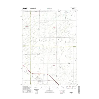
2017 Map of Coleman
USGS Topo · Published 2017About this map
Coleman serves as the central hub of this northern Michigan landscape, situated at the junction of three county lines: Gladwin, Midland, and Isabella. The city’s residential grid, featuring E Adams St and Murphy St, is oriented around a prominent Railroad Grade that cuts diagonally through the territory, marking the historical path of the Pere Marquette State Trail. The surrounding countryside is defined by an extensive network of drainage systems and small waterways, including High Drain, Curtis Drain, and Bluff Cr, which support the low-lying agricultural and forested lands.
Find a feature on this map
74 named features on this map. Tap any name to fly to it.
Don’t see what you’re looking for? This feature index may not catch every label — zoom into the map to look around manually.
Map Details
Editions of this 2017 Coleman Map
This is the sole edition of this map. No revisions or reprints were ever made.
Other maps of this area

1930 · Shepherd
USGS Topo · 1:48,000

1934 · Sanford
USGS Topo · 1:62,500

1936 · Shepherd
USGS Topo · 1:62,500

1936 · Sanford
USGS Topo · 1:62,500

1954 · Midland
USGS Topo · 1:250,000

1958 · Midland
USGS Topo · 1:250,000

1959 · Midland
USGS Topo · 1:250,000

1966 · Midland
USGS Topo · 1:250,000

1969 · Gladwin
USGS Topo · 1:24,000

1969 · Coleman
USGS Topo · 1:24,000