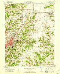
1954 Map of Collinsville
USGS Topo · Published 1959About this map
Collinsville serves as the focal point of this mid-century survey, situated at the intersection of a complex rail network and a landscape defined by deep drainage branches. In the mid-1950s, the Pennsylvania, Illinois Terminal, and C & NW RY railroads crisscrossed the region, connecting industrial hubs and small residential nodes like Maryville and Chinatown. The map reveals a community-based infrastructure with local schools such as Cuba Sch and Webster Sch serving their respective neighborhoods. Beyond the urban grid, the terrain rises toward Browns Mound and Pleasant Ridge, while the surrounding countryside is dotted with family-named landmarks and cemeteries, including Finland Cem and Watt Cem. This edition captures the area just as the Belt Line Highway was beginning to shape modern transit patterns through the Madison and St. Clair County borderlands.
Find a feature on this map
49 named features on this map. Tap any name to fly to it.
Don’t see what you’re looking for? This feature index may not catch every label — zoom into the map to look around manually.
Map Details
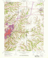
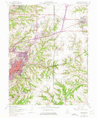
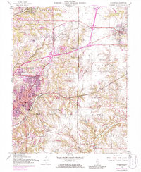
Editions of this 1954 Collinsville Map
4 editions found
Other maps of this area

1888 · St. Louis
USGS Topo · 1:62,500

1907 · Belleville
USGS Topo · 1:62,500

1927 · Alton
USGS Topo · 1:62,500

1927 · Edwardsville
USGS Topo · 1:62,500

1931 · French Village
USGS Topo · 1:24,000

1932 · Edwardsville
USGS Topo · 1:62,500

1934 · Alton
USGS Topo · 1:62,500

1935 · Lebanon
USGS Topo · 1:24,000

1935 · French Village
USGS Topo · 1:24,000

1935 · Monks Mound
USGS Topo · 1:24,000