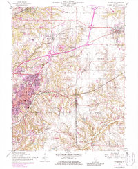
1954 Map of Collinsville
USGS Topo · Published 1986About this map
Collinsville serves as the focal point of this survey, which captures the industrial and suburban evolution of southwestern Illinois during the mid-20th century. The landscape is defined by its complex transportation network, including the Illinois Terminal and Penn Central rail lines, alongside the burgeoning development of the Belt Line Highway. Smaller settlements like Maryville, Chinatown, and Troy dot the periphery, reflecting the era's residential expansion.
Find a feature on this map
54 named features on this map. Tap any name to fly to it.
Don’t see what you’re looking for? This feature index may not catch every label — zoom into the map to look around manually.
Map Details
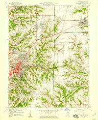
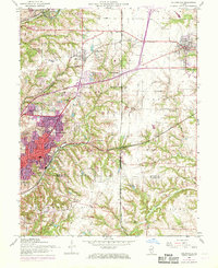
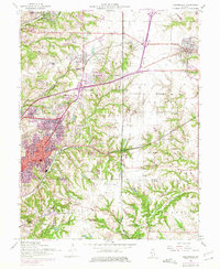
Editions of this 1954 Collinsville Map
4 editions found
Other maps of this area

1888 · St. Louis
USGS Topo · 1:62,500

1907 · Belleville
USGS Topo · 1:62,500

1927 · Alton
USGS Topo · 1:62,500

1927 · Edwardsville
USGS Topo · 1:62,500

1931 · French Village
USGS Topo · 1:24,000

1932 · Edwardsville
USGS Topo · 1:62,500

1934 · Alton
USGS Topo · 1:62,500

1935 · Lebanon
USGS Topo · 1:24,000

1935 · French Village
USGS Topo · 1:24,000

1935 · Monks Mound
USGS Topo · 1:24,000