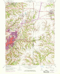
1954 Map of Collinsville
USGS Topo · Published 1969About this map
Collinsville serves as the focal point of this landscape during a period of transition as mid-century development expanded into the surrounding uplands. The 1968 photorevision highlights suburban growth in areas like Meadow Heights and Lakeview, contrasted against a deep historical layer of rural institutions. Local history is recorded through numerous small family and community burial grounds, such as Sowards Cem, Harris Cem, and Hall Cem, which are scattered among the ridges of Jarvis and Caseyville townships.
Find a feature on this map
53 named features on this map. Tap any name to fly to it.
Don’t see what you’re looking for? This feature index may not catch every label — zoom into the map to look around manually.
Map Details
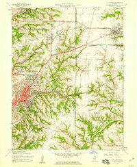
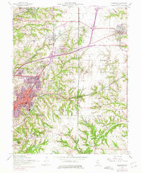
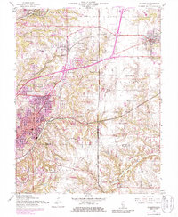
Editions of this 1954 Collinsville Map
4 editions found
Other maps of this area

1888 · St. Louis
USGS Topo · 1:62,500

1907 · Belleville
USGS Topo · 1:62,500

1927 · Alton
USGS Topo · 1:62,500

1927 · Edwardsville
USGS Topo · 1:62,500

1931 · French Village
USGS Topo · 1:24,000

1932 · Edwardsville
USGS Topo · 1:62,500

1934 · Alton
USGS Topo · 1:62,500

1935 · Lebanon
USGS Topo · 1:24,000

1935 · French Village
USGS Topo · 1:24,000

1935 · Monks Mound
USGS Topo · 1:24,000