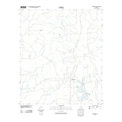
2010 Map of Colmesneil
USGS Topo · Published 2010About this map
Colmesneil serves as the primary hub of this East Texas landscape, situated at the intersection of local routes like FM 256 and Old Rockland Rd. The terrain is defined by a dense network of waterways, including Belts Creek, Lively Branch, and the interestingly named Graveyard Branch. Significant water bodies such as Lake Amanda and Rileys Lake provide focal points for the community, while the surrounding hills—Blackland Hill, Sand Hill, and Dogwood Hill—give shape to the local geography.
Find a feature on this map
70 named features on this map. Tap any name to fly to it.
Don’t see what you’re looking for? This feature index may not catch every label — zoom into the map to look around manually.
Map Details
Editions of this 2010 Colmesneil Map
This is the sole edition of this map. No revisions or reprints were ever made.
Other maps of this area

1928 · Zavalla 3-c
USGS Topo · 1:24,000

1928 · Lufkin 4-d
USGS Topo · 1:24,000

1931 · Zavalla
USGS Topo · 1:62,500

1932 · Manning
USGS Topo · 1:62,500

1953 · Palestine
USGS Topo · 1:250,000

1954 · Beaumont
USGS Topo · 1:250,000

1955 · Woodville
USGS Topo · 1:62,500

1955 · Camden
USGS Topo · 1:62,500

1957 · Beaumont
USGS Topo · 1:250,000

1957 · Palestine
USGS Topo · 1:250,000