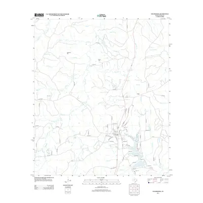
2013 Map of Colmesneil
USGS Topo · Published 2013About this map
The town of Colmesneil serves as the primary hub of this East Texas survey, where a complex network of county roads and state highways like FM-256 intersect. The landscape is defined by the dense drainage system of the Neches River basin, featuring numerous creeks such as Billams Cr and Wolf Cr. Small rural settlements like Cima and historical burial sites, including Mann Cem and Egypt Cem, are scattered throughout the wooded terrain.
Find a feature on this map
96 named features on this map. Tap any name to fly to it.
Don’t see what you’re looking for? This feature index may not catch every label — zoom into the map to look around manually.
Map Details
Editions of this 2013 Colmesneil Map
This is the sole edition of this map. No revisions or reprints were ever made.
Other maps of this area

1928 · Zavalla 3-c
USGS Topo · 1:24,000

1928 · Lufkin 4-d
USGS Topo · 1:24,000

1931 · Zavalla
USGS Topo · 1:62,500

1932 · Manning
USGS Topo · 1:62,500

1953 · Palestine
USGS Topo · 1:250,000

1954 · Beaumont
USGS Topo · 1:250,000

1955 · Woodville
USGS Topo · 1:62,500

1955 · Camden
USGS Topo · 1:62,500

1957 · Beaumont
USGS Topo · 1:250,000

1957 · Palestine
USGS Topo · 1:250,000