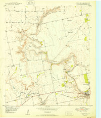
1952 Map of Colorado City
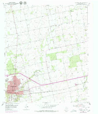
USGS Topo · Published 1979About this map
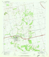
Colorado City serves as the focal point of this Mitchell County study, situated where the Texas and Pacific railroad crosses the Colorado River. The mid-century landscape reveals a well-established civic infrastructure, from the local Courthouse and Hospital to several neighborhood schools like Hutchinson Sch and Wallace Sch. Beyond the grid of the city, the terrain is defined by the winding course of Lone Wolf Creek and scattered rural landmarks including Zions Rest Cem and the Longfellow Sch.
Find a feature on this map
37 named features on this map. Tap any name to fly to it.
Don’t see what you’re looking for? This feature index may not catch every label — zoom into the map to look around manually.
Map Details
Editions of this 1952 Colorado City Map
2 editions found
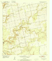
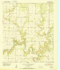
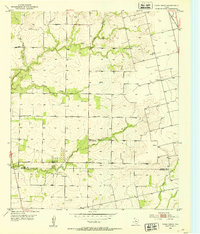
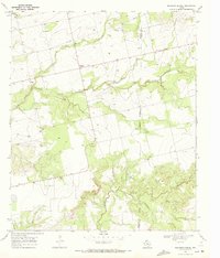
Other maps of this area
1950 · Cedar Bend
USGS Topo · 1:24,000
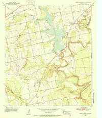
1950 · Lake Colorado City
USGS Topo · 1:24,000
1950 · Colorado City SE
USGS Topo · 1:24,000
1951 · Dunn
USGS Topo · 1:24,000
1952 · China Grove
USGS Topo · 1:24,000
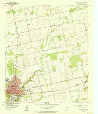
1952 · Colorado City
USGS Topo · 1:24,000

1954 · Big Spring
USGS Topo · 1:250,000

1958 · Big Spring
USGS Topo · 1:250,000
1969 · Baumann School
USGS Topo · 1:24,000
1969 · Loraine
USGS Topo · 1:24,000