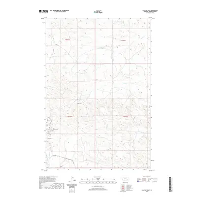
2020 Map of Colstrip East
USGS Topo · Published 2020About this map
Colstrip serves as the primary hub of this Rosebud County landscape, showing a pattern of residential growth defined by a dense network of suburban-style streets including Wagoneer Dr, Vista Dr, and Piedmont Dr. This 2020 layout contrasts with the surrounding agricultural and open lands, where the terrain is marked by prominent landmarks like Eagle Rock and the winding paths of Sprague Cr and Spring Cr. For those tracing local heritage, the Colstrip Cem is situated just northwest of the town's central grid. The map reveals the hydrology of the High Plains through the intermittent drainages of Pony Cr and Cow Cr, which carve through the land between major access routes like Wilmer Ranch Rd and Wilmer Rd to the north.
Find a feature on this map
24 named features on this map. Tap any name to fly to it.
Don’t see what you’re looking for? This feature index may not catch every label — zoom into the map to look around manually.
Map Details
Editions of this 2020 Colstrip East Map
This is the sole edition of this map. No revisions or reprints were ever made.
Other maps of this area

1954 · Hardin
USGS Topo · 1:250,000

1954 · Forsyth
USGS Topo · 1:250,000

1957 · Hardin
USGS Topo · 1:250,000

1957 · Forsyth
USGS Topo · 1:250,000

1958 · Forsyth
USGS Topo · 1:250,000

1958 · Hardin
USGS Topo · 1:250,000

1971 · Colstrip SW
USGS Topo · 1:24,000

1971 · Colstrip SE
USGS Topo · 1:24,000

1971 · Hammond Draw NW
USGS Topo · 1:24,000

1971 · Colstrip East
USGS Topo · 1:24,000