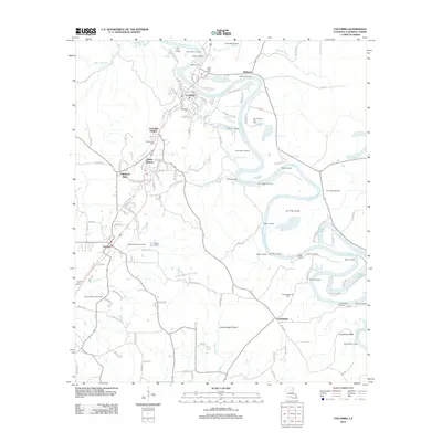
2012 Map of Columbia
USGS Topo · Published 2012About this map
The Ouachita River snakes through the heart of this Caldwell Parish landscape, defining a geography where the river economy and gas extraction meet. The town of Columbia sits at a major bend, supported by outlying settlements like Columbia Heights, Banks Springs, and Grayson. This 2012 survey illustrates the enduring importance of the river through a dense network of historical river access points, including Old Ferry Landing, John Sillars Landing, and Stock Landing.
Find a feature on this map
131 named features on this map. Tap any name to fly to it.
Don’t see what you’re looking for? This feature index may not catch every label — zoom into the map to look around manually.
Map Details
Editions of this 2012 Columbia Map
This is the sole edition of this map. No revisions or reprints were ever made.
Other maps of this area

1939 · Fort Necessity
USGS Topo · 1:62,500

1940 · Columbia
USGS Topo · 1:62,500

1941 · Harrisonburg
USGS Topo · 1:62,500

1953 · Alexandria
USGS Topo · 1:250,000

1953 · Natchez
USGS Topo · 1:250,000

1955 · Jackson
USGS Topo · 1:250,000

1955 · Shreveport
USGS Topo · 1:250,000

1955 · Alexandria
USGS Topo · 1:250,000

1955 · Olla
USGS Topo · 1:62,500

1956 · Shreveport
USGS Topo · 1:250,000