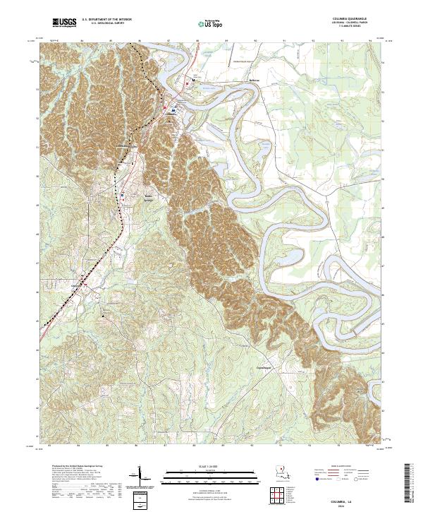
2024 Map of Columbia
USGS Topo · Published 2024About this map
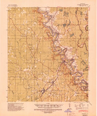
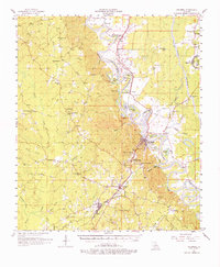
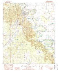
The Ouachita River carves a dramatic, winding path through the heart of this landscape, its tight meanders creating distinct oxbow features like Brown Lake and Vantley Lake. On the western bluffs, the settlement of Columbia serves as a focal point, anchored by the Caldwell Parish Courthouse. The terrain shifts from the river’s alluvial bottomlands—filled with wetlands like Dizzy Brake and Thompson Brake—to the higher ground of Columbia Heights and Grandview Bluff in the south.
Find a feature on this map
98 named features on this map. Tap any name to fly to it.
Don’t see what you’re looking for? This feature index may not catch every label — zoom into the map to look around manually.
Map Details
Editions of this 2024 Columbia Map
This is the sole edition of this map. No revisions or reprints were ever made.
Historical Maps of Pulpwood Spur Through Time
4 maps found