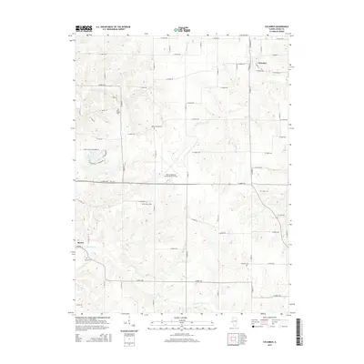
2015 Map of Columbus
USGS Topo · Published 2015About this map
Columbus and Burton anchor this central Illinois landscape, where the agricultural grid of Adams County is deeply incised by a network of winding creek valleys. Waterways like McKee Cr, Tournear Cr, and Burton Cr disrupt the geometric regularity of the section lines, creating the varied terrain that defines the local geography. The dominance of the Quincy Regional Airport-Baldwin Field at the center of the sheet reflects the modern industrial and transportation footprint over what remains a largely rural, cemetery-dotted countryside.
Find a feature on this map
62 named features on this map. Tap any name to fly to it.
Don’t see what you’re looking for? This feature index may not catch every label — zoom into the map to look around manually.
Map Details
Editions of this 2015 Columbus Map
This is the sole edition of this map. No revisions or reprints were ever made.
Other maps of this area

1925 · Quincy
USGS Topo · 1:62,500

1925 · Liberty
USGS Topo · 1:62,500

1927 · Liberty
USGS Topo · 1:62,500

1944 · Quincy
USGS Topo · 1:62,500

1945 · Quincy
USGS Topo · 1:62,500

1946 · Mendon
USGS Topo · 1:62,500

1948 · Quincy
USGS Topo · 1:250,000

1948 · Mendon
USGS Topo · 1:62,500

1948 · Camp Point
USGS Topo · 1:62,500

1956 · Quincy
USGS Topo · 1:250,000