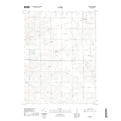
2021 Map of Columbus
USGS Topo · Published 2021About this map
Columbus and Burton anchor this central Illinois landscape, where the agricultural grid is deeply carved by the drainage networks of McKee Cr and Mill Cr. This modern survey reveals a dense concentration of historical burial sites—including Saint Joseph Cem, Mount Pleasant Cem, and Independence Cem—that serve as key landmarks for local genealogy and family history. The sprawling footprint of the Quincy Regional Airport- Baldwin Field occupies a high plateau in the center of the sheet, creating a sharp contrast between the modern aviation facility and the surrounding rural township sections. Tracing the courses of Burton Cr and Tournear Cr illustrates the relationship between the regional watershed and the local road network, which navigates the winding creek valleys to connect these long-established farming communities.
Find a feature on this map
76 named features on this map. Tap any name to fly to it.
Don’t see what you’re looking for? This feature index may not catch every label — zoom into the map to look around manually.
Map Details
Editions of this 2021 Columbus Map
This is the sole edition of this map. No revisions or reprints were ever made.
Other maps of this area

1925 · Quincy
USGS Topo · 1:62,500

1925 · Liberty
USGS Topo · 1:62,500

1927 · Liberty
USGS Topo · 1:62,500

1944 · Quincy
USGS Topo · 1:62,500

1945 · Quincy
USGS Topo · 1:62,500

1946 · Mendon
USGS Topo · 1:62,500

1948 · Quincy
USGS Topo · 1:250,000

1948 · Mendon
USGS Topo · 1:62,500

1948 · Camp Point
USGS Topo · 1:62,500

1956 · Quincy
USGS Topo · 1:250,000