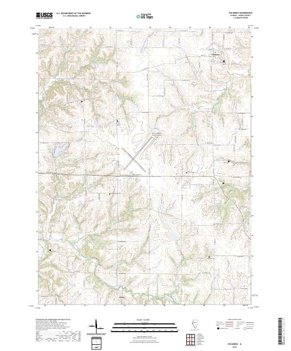
2024 Map of Columbus
USGS Topo · Published 2024About this map
Columbus serves as the primary settlement on this map of east-central Adams County, where a network of county roads follows the section lines of the township and range system. This rural landscape is deeply etched by a drainage system including Mill Creek and McKee Creek, creating a distinctive pattern of wooded stream valleys that contrast with the open agricultural tablelands above. For genealogists and local historians, the sheet is particularly valuable for its density of rural burial sites, such as the Cate Family Cem, Independence Cem, and Lierle Cem.
Find a feature on this map
76 named features on this map. Tap any name to fly to it.
Don’t see what you’re looking for? This feature index may not catch every label — zoom into the map to look around manually.
Map Details
Editions of this 2024 Columbus Map
This is the sole edition of this map. No revisions or reprints were ever made.
Other maps of this area

1925 · Quincy
USGS Topo · 1:62,500

1925 · Liberty
USGS Topo · 1:62,500

1927 · Liberty
USGS Topo · 1:62,500

1944 · Quincy
USGS Topo · 1:62,500

1945 · Quincy
USGS Topo · 1:62,500

1946 · Mendon
USGS Topo · 1:62,500

1948 · Quincy
USGS Topo · 1:250,000

1948 · Mendon
USGS Topo · 1:62,500

1948 · Camp Point
USGS Topo · 1:62,500

1956 · Quincy
USGS Topo · 1:250,000