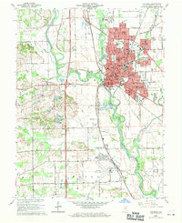
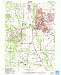
1962 Map of Columbus
USGS Topo · Published 1964About this map
Columbus serves as the industrial and civic heart of Bartholomew County in the early 1960s, defined by the convergence of the Driftwood River, Flatrock River, and Haw Creek. The urban core is a dense grid of institutional landmarks including the Courthouse, City Hall, and numerous parochial and public institutions like St Bartholomews Sch and Schmitt Sch. To the north, Bakalar Air Force Base represents a significant military presence adjacent to developing residential areas like Riverview Acres and Parkside.
Find a feature on this map
86 named features on this map. Tap any name to fly to it.
Don’t see what you’re looking for? This feature index may not catch every label — zoom into the map to look around manually.
Map Details
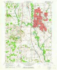
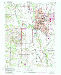
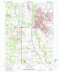
Editions of this 1962 Columbus Map
6 editions found
Other maps of this area

1942 · Franklin
USGS Topo · 1:125,000

1942 · Columbus
USGS Topo · 1:125,000

1947 · Franklin
USGS Topo · 1:62,500

1947 · Hope
USGS Topo · 1:24,000

1948 · Edinburg
USGS Topo · 1:24,000

1948 · New Bellsville
USGS Topo · 1:24,000

1948 · Hope
USGS Topo · 1:24,000

1948 · Waymansville
USGS Topo · 1:24,000

1948 · Nineveh
USGS Topo · 1:24,000

1950 · Franklin
USGS Topo · 1:62,500