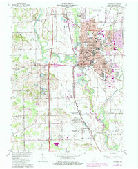
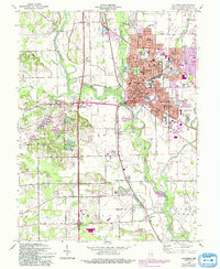
1962 Map of Columbus
USGS Topo · Published 1981About this map
The confluence of the Flatrock River and Driftwood River forms the East Fork White River at Columbus, a major regional hub defined by its dense grid and extensive school system. Educational and civic development is prominent throughout the city, featuring Central Jr High Sch, St Bartholomews Sch, and the landmark Courthouse downtown. Outside the city center, the landscape transitions into industrial and agricultural zones, including the sprawling Columbus-Bakalar Municipal Airport to the north and the 4-H Fairground to the east.
Find a feature on this map
90 named features on this map. Tap any name to fly to it.
Don’t see what you’re looking for? This feature index may not catch every label — zoom into the map to look around manually.
Map Details
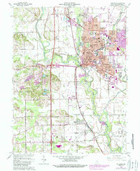
Editions of this 1962 Columbus Map
6 editions found
Other maps of this area

1942 · Franklin
USGS Topo · 1:125,000

1942 · Columbus
USGS Topo · 1:125,000

1947 · Franklin
USGS Topo · 1:62,500

1947 · Hope
USGS Topo · 1:24,000

1948 · Edinburg
USGS Topo · 1:24,000

1948 · New Bellsville
USGS Topo · 1:24,000

1948 · Hope
USGS Topo · 1:24,000

1948 · Waymansville
USGS Topo · 1:24,000

1948 · Nineveh
USGS Topo · 1:24,000

1950 · Franklin
USGS Topo · 1:62,500