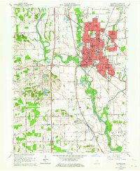
1962 Map of Columbus
USGS Topo · Published 1970About this map
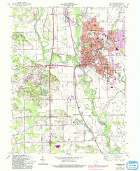
Bakalar Air Force Base dominates the northern landscape of this Bartholomew County region, situated just above the expanding urban center of Columbus. The city exhibits a dense network of civic and educational infrastructure, featuring numerous neighborhood institutions like McKinley Sch, Jefferson Sch, and the parochial St Bartholomew Sch. The confluence of the Flatrock River and Driftwood River forms the White River here, a natural junction that historically dictated the city's placement and growth. Beyond the city limits, the landscape transitions to rural townships like Harrison and Wayne, where smaller settlements such as Walesboro and Bethel Village are connected by a grid of numbered section roads. Notable landmarks including the Covered Bridge over Denios Creek and the 4-H Fairground reflect the area's deep-rooted agricultural and community character during the early 1960s.
Find a feature on this map
84 named features on this map. Tap any name to fly to it.
Don’t see what you’re looking for? This feature index may not catch every label — zoom into the map to look around manually.
Map Details
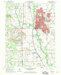
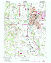
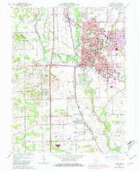
Editions of this 1962 Columbus Map
6 editions found
Other maps of this area

1942 · Franklin
USGS Topo · 1:125,000

1942 · Columbus
USGS Topo · 1:125,000

1947 · Franklin
USGS Topo · 1:62,500

1947 · Hope
USGS Topo · 1:24,000

1948 · Edinburg
USGS Topo · 1:24,000

1948 · New Bellsville
USGS Topo · 1:24,000

1948 · Hope
USGS Topo · 1:24,000

1948 · Waymansville
USGS Topo · 1:24,000

1948 · Nineveh
USGS Topo · 1:24,000

1950 · Franklin
USGS Topo · 1:62,500