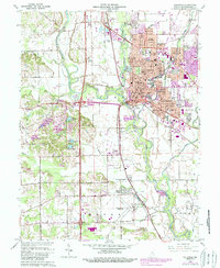
1962 Map of Columbus
USGS Topo · Published 1993About this map
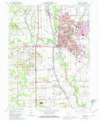
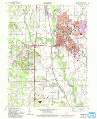
The confluence of the Flatrock River and the Driftwood River forms the White River at the heart of this landscape, anchoring the development of Columbus. This mid-century survey reveals a city expanding eastward and southward, with residential growth stretching toward Riverview Acres and East Columbus. Educational and religious institutions are dense within the urban core, including St Peters Ch and Central Jr High Sch, while the industrial and transportation character is defined by the Pennsylvania Railroad corridor. South of the city, the terrain transitions to the smaller communities of Garden City and Walesboro, where an abandoned landing field and the Thompson Cem sit near the winding banks of Clifty Creek. The map documents a period of significant infrastructure modernization, visible in the heavy-duty highway interchanges and the sprawling Municipal Airport to the north.
Find a feature on this map
71 named features on this map. Tap any name to fly to it.
Don’t see what you’re looking for? This feature index may not catch every label — zoom into the map to look around manually.
Map Details
Editions of this 1962 Columbus Map
6 editions found
Other maps of this area

1942 · Franklin
USGS Topo · 1:125,000

1942 · Columbus
USGS Topo · 1:125,000

1947 · Franklin
USGS Topo · 1:62,500

1947 · Hope
USGS Topo · 1:24,000

1948 · Edinburg
USGS Topo · 1:24,000

1948 · New Bellsville
USGS Topo · 1:24,000

1948 · Hope
USGS Topo · 1:24,000

1948 · Waymansville
USGS Topo · 1:24,000

1948 · Nineveh
USGS Topo · 1:24,000

1950 · Franklin
USGS Topo · 1:62,500