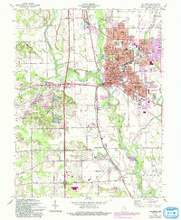
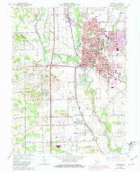
1962 Map of Columbus
USGS Topo · Published 1988About this map
The confluence of the Flatrock River and the Driftwood River forms the headwaters of the White River here, anchoring the development of Columbus. This mid-century view captures the city's established grid, where cultural institutions like St Bartholomews Sch, St Peters Sch, and McDowell Sch serve growing neighborhoods. The rail infrastructure remains vital to the local economy, with the Penn Central and Conrail lines bisecting the landscape.
Find a feature on this map
77 named features on this map. Tap any name to fly to it.
Don’t see what you’re looking for? This feature index may not catch every label — zoom into the map to look around manually.
Map Details
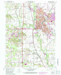
Editions of this 1962 Columbus Map
6 editions found
Other maps of this area

1942 · Franklin
USGS Topo · 1:125,000

1942 · Columbus
USGS Topo · 1:125,000

1947 · Franklin
USGS Topo · 1:62,500

1947 · Hope
USGS Topo · 1:24,000

1948 · Edinburg
USGS Topo · 1:24,000

1948 · New Bellsville
USGS Topo · 1:24,000

1948 · Hope
USGS Topo · 1:24,000

1948 · Waymansville
USGS Topo · 1:24,000

1948 · Nineveh
USGS Topo · 1:24,000

1950 · Franklin
USGS Topo · 1:62,500