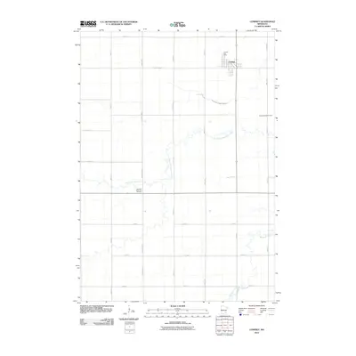
2010 Map of Comfrey
USGS Topo · Published 2010About this map
Comfrey stands as the primary hub of this rural landscape, situated in the northeast corner where the Comfrey Post Office serves the local community. The terrain is defined by the winding course of the North Fork Watonwan River as it meanders through the central and eastern portions of the map, eventually joining the main Watonwan River in the southeast. This 2010 survey reflects a strictly gridded agricultural region, punctuated by local landmarks like the Christian Reformed Cemetery and Congregational Cemetery, which anchor the local family history of the area. The prevalence of named drainage features like County Ditch Number Thirtynine highlights the extensive land management required for farming in this part of southern Minnesota.
Find a feature on this map
23 named features on this map. Tap any name to fly to it.
Don’t see what you’re looking for? This feature index may not catch every label — zoom into the map to look around manually.
Map Details
Editions of this 2010 Comfrey Map
This is the sole edition of this map. No revisions or reprints were ever made.
Other maps of this area

1953 · New Ulm
USGS Topo · 1:250,000

1954 · Fairmont
USGS Topo · 1:250,000

1957 · New Ulm
USGS Topo · 1:250,000

1958 · New Ulm
USGS Topo · 1:250,000

1958 · Fairmont
USGS Topo · 1:250,000

1967 · New Ulm
USGS Topo · 1:250,000

1967 · Sanborn SE
USGS Topo · 1:24,000

1967 · Springfield
USGS Topo · 1:24,000

1967 · Sanborn NE
USGS Topo · 1:24,000

1967 · Darfur
USGS Topo · 1:24,000