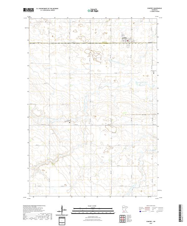
2022 Map of Comfrey
USGS Topo · Published 2022About this map
Comfrey sits at the intersection of Co Hwy 17 and Co Hwy 36, serving as a primary hub within this agricultural landscape. The township structure is clearly defined by a grid of numbered avenues and streets, illustrating the systematic land division of southern Minnesota. Historically significant sites for genealogists include the Congregational Cem and the Christian Reformed Cem, the latter located near the banks of the N Fork Watonwan River. This river system, along with the Watonwan River and engineered watercourses like County Ditch Number Thirtynine, dominates the drainage patterns across the border of Brown and Cottonwood counties. The map reflects a landscape dedicated to large-scale farming, punctuated by these small, localized spiritual and community centers.
Find a feature on this map
40 named features on this map. Tap any name to fly to it.
Don’t see what you’re looking for? This feature index may not catch every label — zoom into the map to look around manually.
Map Details
Editions of this 2022 Comfrey Map
This is the sole edition of this map. No revisions or reprints were ever made.
Other maps of this area

1953 · New Ulm
USGS Topo · 1:250,000

1954 · Fairmont
USGS Topo · 1:250,000

1957 · New Ulm
USGS Topo · 1:250,000

1958 · New Ulm
USGS Topo · 1:250,000

1958 · Fairmont
USGS Topo · 1:250,000

1967 · New Ulm
USGS Topo · 1:250,000

1967 · Sanborn SE
USGS Topo · 1:24,000

1967 · Springfield
USGS Topo · 1:24,000

1967 · Sanborn NE
USGS Topo · 1:24,000

1967 · Darfur
USGS Topo · 1:24,000