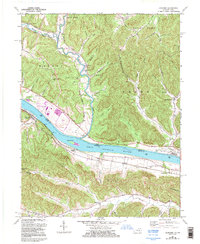
1967 Map of Concord
USGS Topo · Published 1995About this map
The Ohio River corridor between Ohio and Kentucky is the focal point of this 1995 revision, which documents the industrial and rural landscape along the river's winding path. On the Ohio side, the massive Killen Generating Station Power Plant and its associated Substation and Disposal Area dominate the riverbank, contrasting with the small settlement of Concord. Across the water in Kentucky, the map details a terrain of narrow hollows and ridge-top settlements, including Chalkley Station and Rome Station.
Find a feature on this map
82 named features on this map. Tap any name to fly to it.
Don’t see what you’re looking for? This feature index may not catch every label — zoom into the map to look around manually.
Map Details
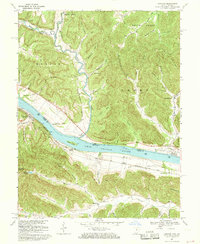
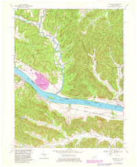
Editions of this 1967 Concord Map
3 editions found
Other maps of this area

1916 · Peebles
USGS Topo · 1:62,500

1918 · Peebles
USGS Topo · 1:62,500

1918 · Seaman
USGS Topo · 1:62,500

1919 · Vanceburg
USGS Topo · 1:62,500

1929 · Springdale
USGS Topo · 1:48,000

1935 · Springdale
USGS Topo · 1:62,500

1949 · Vanceburg
USGS Topo · 1:62,500

1949 · Buena Vista
USGS Topo · 1:24,000

1949 · Vanceburg
USGS Topo · 1:24,000

1949 · Concord
USGS Topo · 1:24,000