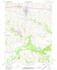
1962 Map of Concordia
USGS Topo · Published 1982About this map
Concordia serves as the primary hub of this landscape, its grid organized around the Missouri Pacific railroad and St Pauls College. The town’s social and historical fabric is anchored by landmarks like the Evangelical Cem and the St Johns Cem to the northeast. Beyond the developed center, the topography transitions into the drainage basins of Goose Creek and Panther Creek, where the land is largely rural and agricultural.
Find a feature on this map
27 named features on this map. Tap any name to fly to it.
Don’t see what you’re looking for? This feature index may not catch every label — zoom into the map to look around manually.
Map Details
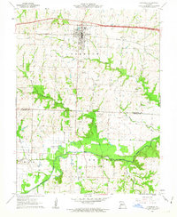
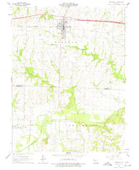
Editions of this 1962 Concordia Map
3 editions found
Other maps of this area

1885 · Warrensburg
USGS Topo · 1:125,000

1887 · Sedalia
USGS Topo · 1:125,000

1887 · Warrensburg
USGS Topo · 1:125,000

1889 · Lexington
USGS Topo · 1:125,000

1890 · Marshall
USGS Topo · 1:125,000

1892 · Marshall
USGS Topo · 1:125,000

1894 · Sedalia
USGS Topo · 1:125,000

1894 · Warrensburg
USGS Topo · 1:125,000

1901 · Marshall
USGS Topo · 1:125,000

1917 · Knobnoster
USGS Topo · 1:62,500