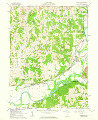
1962 Map of Conesville
USGS Topo · Published 1963About this map
The Muskingum River and Wills Creek define this river-valley landscape in the early 1960s, a period marked by heavy industrial activity alongside traditional rural settlements. Evidence of the region's coal industry is widespread, with numerous Strip Mine operations and Strip Mines appearing across the hills of Jackson and Virginia townships. A large Conveyor and Substation east of Conesville further highlight the area's energy infrastructure.
Find a feature on this map
44 named features on this map. Tap any name to fly to it.
Don’t see what you’re looking for? This feature index may not catch every label — zoom into the map to look around manually.
Map Details
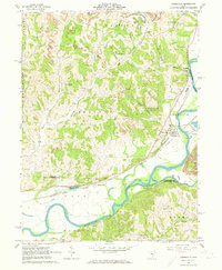
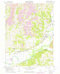
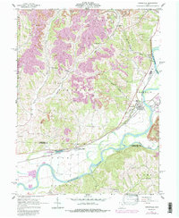
Editions of this 1962 Conesville Map
4 editions found
Other maps of this area

1908 · Conesville
USGS Topo · 1:62,500

1910 · Frazeysburg
USGS Topo · 1:62,500

1910 · Conesville
USGS Topo · 1:62,500

1913 · Brinkhaven
USGS Topo · 1:62,500

1913 · Coshocton
USGS Topo · 1:62,500

1915 · Brinkhaven
USGS Topo · 1:62,500

1915 · Coshocton
USGS Topo · 1:62,500

1943 · Coshocton
USGS Topo · 1:62,500

1950 · Marion
USGS Topo · 1:250,000

1951 · Canton
USGS Topo · 1:250,000