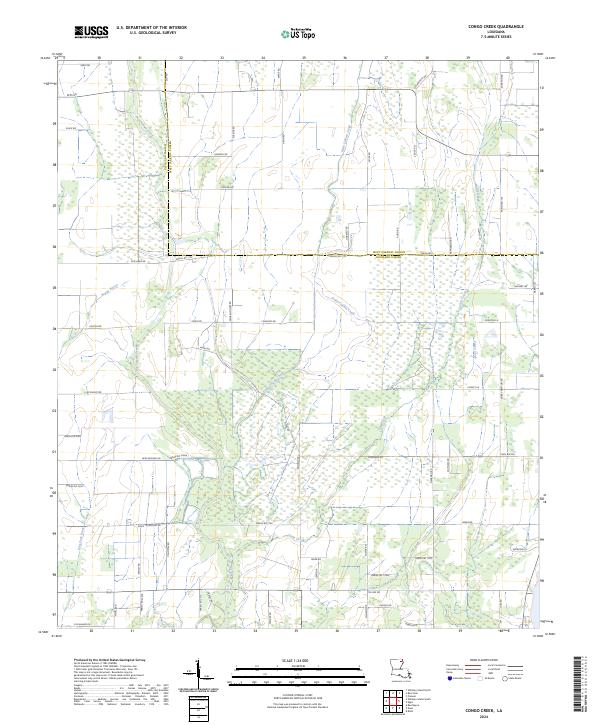
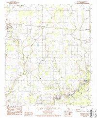
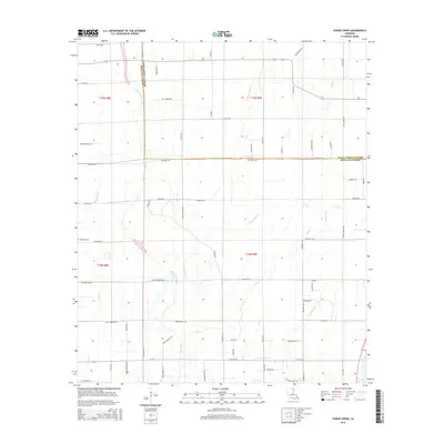
2024 Map of Congo Creek
USGS Topo · Published 2024About this map
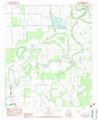
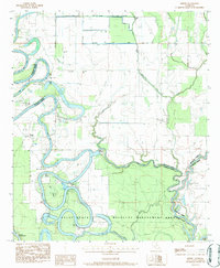
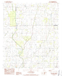
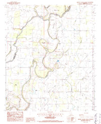
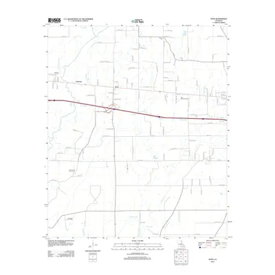
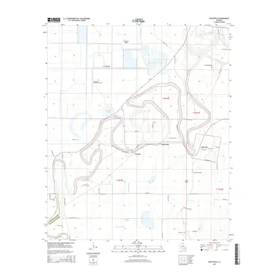
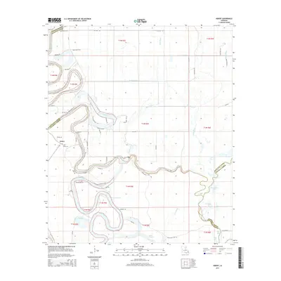
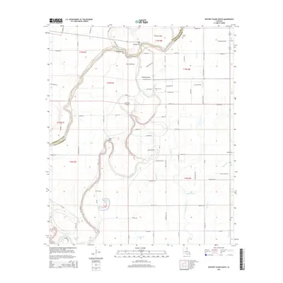
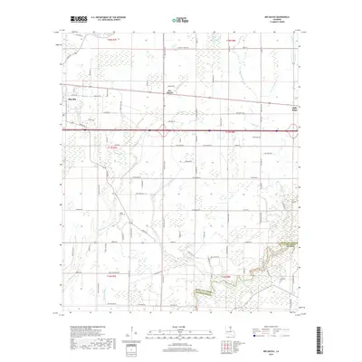
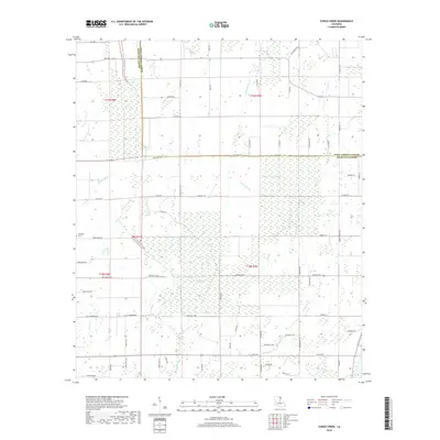
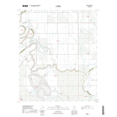
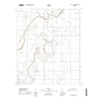
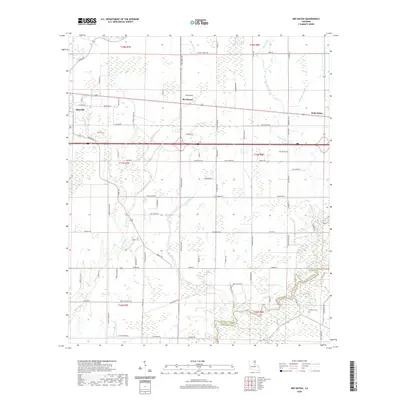
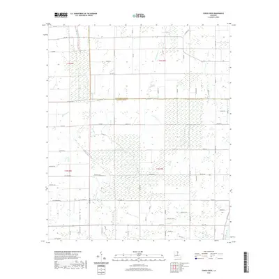
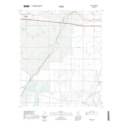
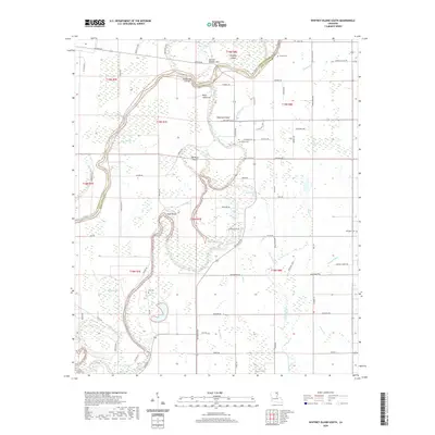
Little Colewa Creek and Big Colewa Creek define the low-lying wetlands of Louisiana's northeast corner, where the boundary between Richland Parish and West Carroll Parish shifts across the agricultural landscape. The terrain is a complex network of bayous and drainages, notably Boggy Bayou and Congo Creek, that have historically dictated the placement of rural roads and homesteads. Local family names and small-scale geographic identifiers appear throughout the grid, such as Goose Hollow Rd, Clack Rd, and Myers Rd. These parish roads connect isolated farmsteads across the township lines of T18N and T19N, illustrating the persistent land-use patterns of the Mississippi Delta region where drainage and field access remain the primary drivers of infrastructure.
Find a feature on this map
72 named features on this map. Tap any name to fly to it.
Don’t see what you’re looking for? This feature index may not catch every label — zoom into the map to look around manually.
Map Details
Editions of this 2024 Congo Creek Map
This is the sole edition of this map. No revisions or reprints were ever made.
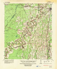
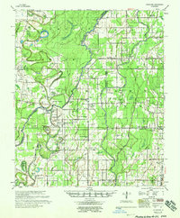
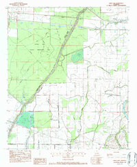
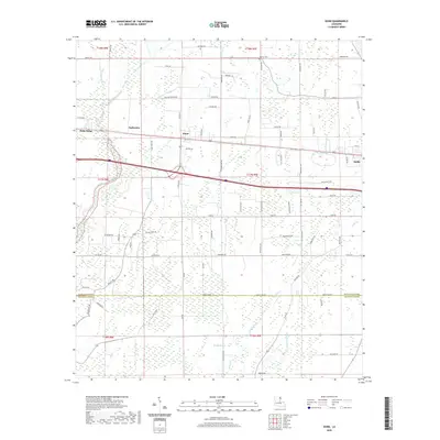
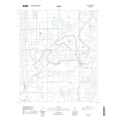
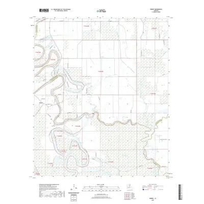
Historical Maps of Richland Parish Through Time
45 maps found
1935 Alto
Richland Parish, LA

1935 Hurricane
Richland Parish, LA
1958 Hurricane
Richland Parish, LA
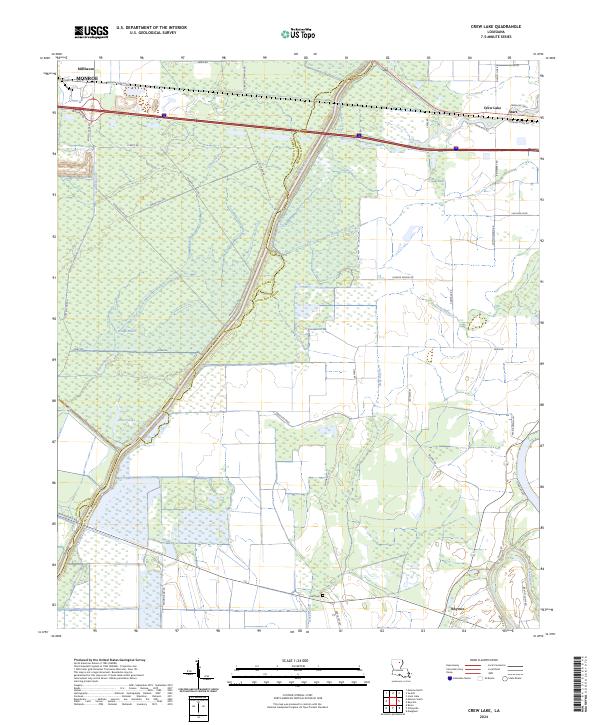
1982 Crew Lake
Richland Parish, LA
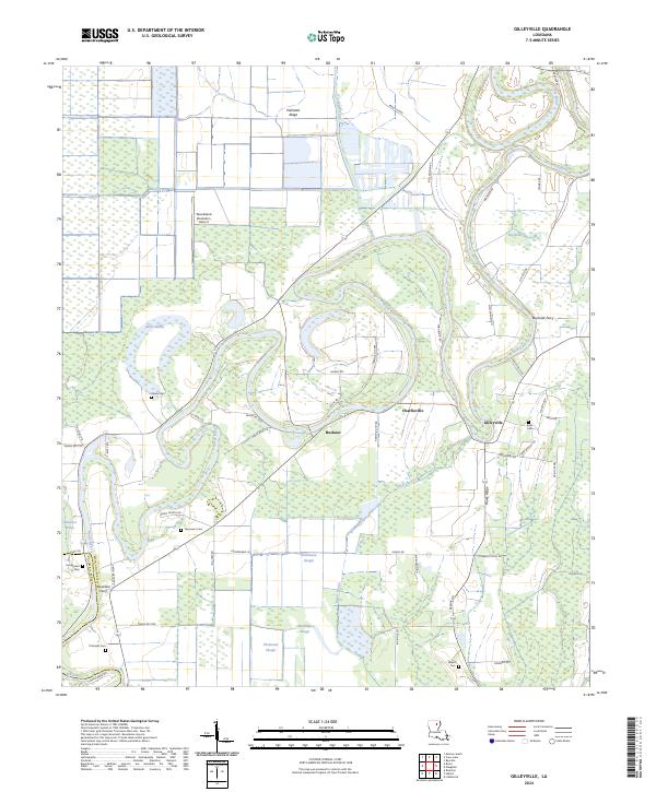
1982 Gilleyville
Richland Parish, LA
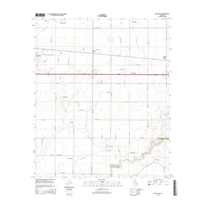
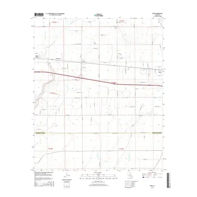
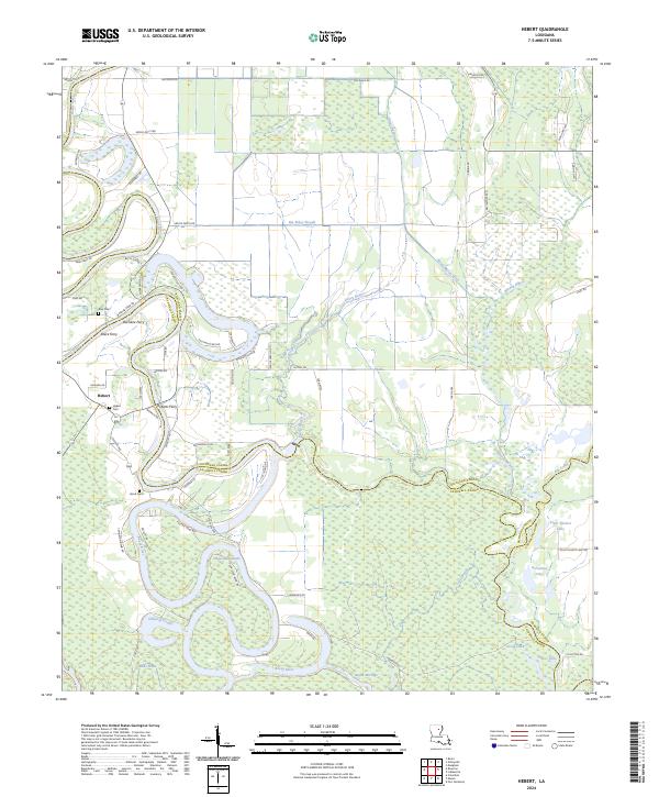
1983 Hebert
Richland Parish, LA
1986 Congo Creek
Richland Parish, LA
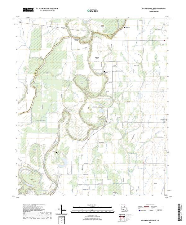
1986 Whitney Island South
Richland Parish, LA
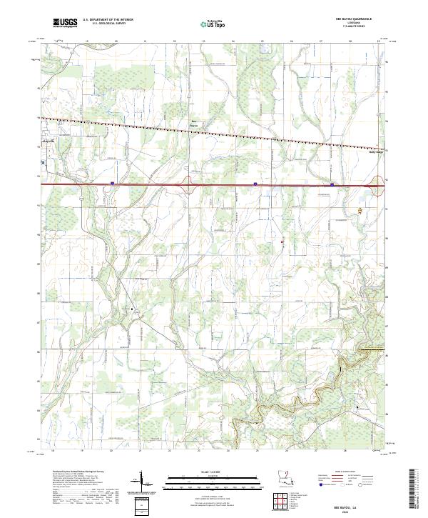
1987 Bee Bayou
Richland Parish, LA

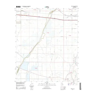
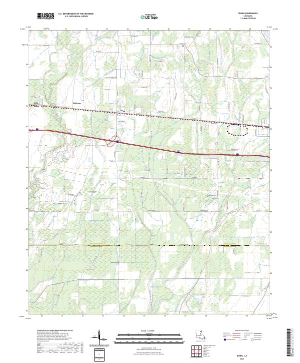
1987 Dunn
Richland Parish, LA
2012 Bee Bayou
Richland Parish, LA
2012 Congo Creek
Richland Parish, LA
2012 Crew Lake
Richland Parish, LA
2012 Dunn
Richland Parish, LA
2012 Gilleyville
Richland Parish, LA
2012 Hebert
Richland Parish, LA
2012 Whitney Island South
Richland Parish, LA
2015 Bee Bayou
Richland Parish, LA
2015 Congo Creek
Richland Parish, LA
2015 Crew Lake
Richland Parish, LA
2015 Dunn
Richland Parish, LA
2015 Gilleyville
Richland Parish, LA
2015 Hebert
Richland Parish, LA
2015 Whitney Island South
Richland Parish, LA
2018 Bee Bayou
Richland Parish, LA
2018 Congo Creek
Richland Parish, LA
2018 Crew Lake
Richland Parish, LA
2018 Dunn
Richland Parish, LA
2018 Gilleyville
Richland Parish, LA
2018 Hebert
Richland Parish, LA
2018 Whitney Island South
Richland Parish, LA
2020 Bee Bayou
Richland Parish, LA
2020 Congo Creek
Richland Parish, LA
2020 Crew Lake
Richland Parish, LA
2020 Dunn
Richland Parish, LA
2020 Gilleyville
Richland Parish, LA
2020 Hebert
Richland Parish, LA
2020 Whitney Island South
Richland Parish, LA
2024 Bee Bayou
Richland Parish, LA
2024 Congo Creek
Richland Parish, LA
2024 Crew Lake
Richland Parish, LA
2024 Dunn
Richland Parish, LA
2024 Gilleyville
Richland Parish, LA
2024 Hebert
Richland Parish, LA
2024 Whitney Island South
Richland Parish, LA