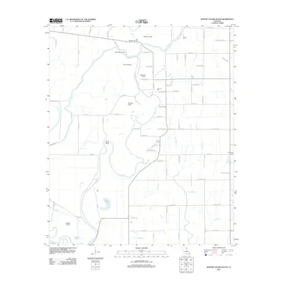
2012 Map of Whitney Island South
USGS Topo · Published 2012About this map
Point Jefferson and Mound Landing anchor this landscape of the Bayou state, defined by a complex network of waterways in Morehouse Parish. The winding course of the Boeuf River and Bayou Lafourche dominate the terrain, creating isolated landforms such as Whitney Island, Hegwood Island, and Picketts Island. The drainage patterns are further detailed through smaller tributaries like Gum Bayou, Bee Bayou, and the Lafourche Cut-off.
Find a feature on this map
85 named features on this map. Tap any name to fly to it.
Don’t see what you’re looking for? This feature index may not catch every label — zoom into the map to look around manually.
Map Details
Editions of this 2012 Whitney Island South Map
This is the sole edition of this map. No revisions or reprints were ever made.
Other maps of this area

1935 · Collinston
USGS Topo · 1:62,500

1935 · Alto
USGS Topo · 1:62,500

1935 · Baskinton
USGS Topo · 1:62,500

1935 · Hurricane
USGS Topo · 1:62,500

1955 · Jackson
USGS Topo · 1:250,000

1957 · Mangham
USGS Topo · 1:62,500

1957 · Collinston
USGS Topo · 1:62,500

1958 · Baskinton
USGS Topo · 1:62,500

1958 · Hurricane
USGS Topo · 1:62,500

1961 · Jackson
USGS Topo · 1:250,000