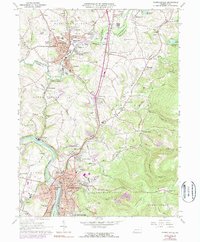
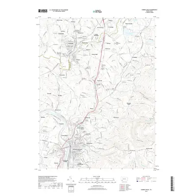
1931 Map of Connellsville
USGS Topo · Published 1958About this map
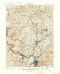
The industrial and agricultural heart of Westmoreland and Fayette counties unfolds along the Youghiogheny River, where steep topography and water access shaped the region's early growth. This survey, which incorporates data from the H.C. Frick Coke Co., reveals a landscape defined by the heavy infrastructure of the Pennsylvania Railroad and the Baltimore and Ohio Railroad. These rail corridors connect dozens of small coal-and-coke settlements, including Youngwood, New Stanton, and Southwest.
Find a feature on this map
115 named features on this map. Tap any name to fly to it.
Don’t see what you’re looking for? This feature index may not catch every label — zoom into the map to look around manually.
Map Details
Editions of this 1931 Connellsville Map
2 editions found
Historical Maps of Connellsville Through Time
9 maps found
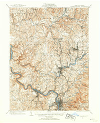
1902 Connellsville
Fayette County, PA
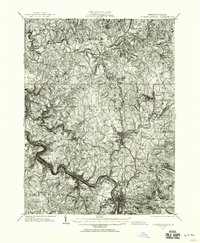
1931 Connellsville
Fayette County, PA
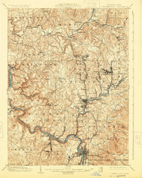
1936 Connellsville
Fayette County, PA
1964 Connellsville
Fayette County, PA
2010 Connellsville
Fayette County, PA
2013 Connellsville
Fayette County, PA
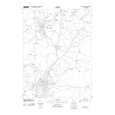
2016 Connellsville
Fayette County, PA
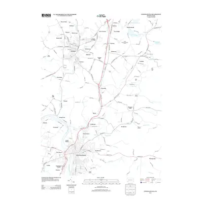
2019 Connellsville
Fayette County, PA
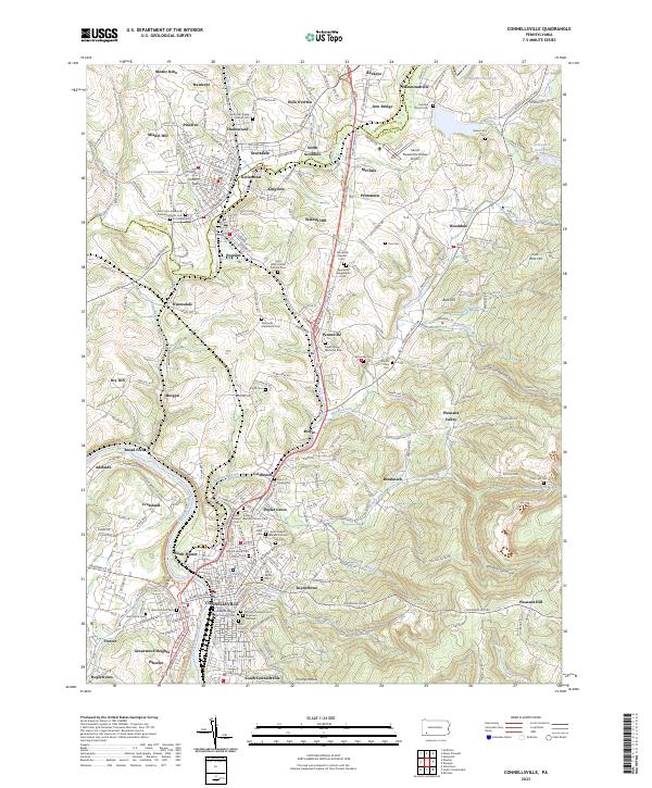
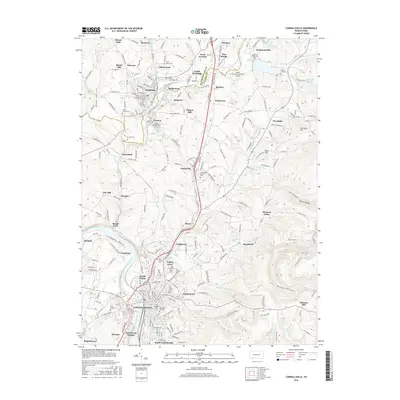
2023 Connellsville
Fayette County, PA