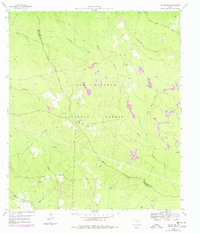
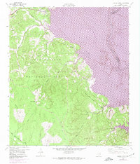
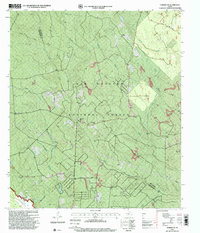
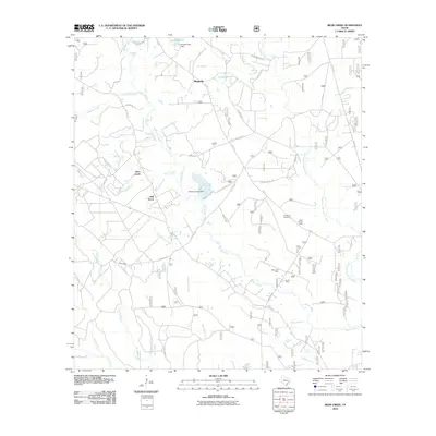
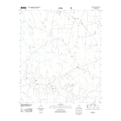
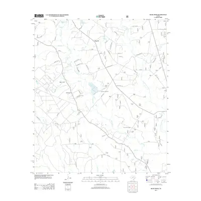
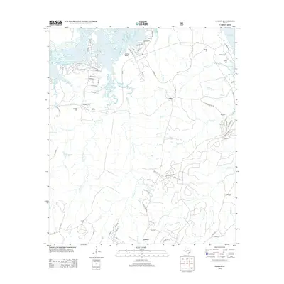
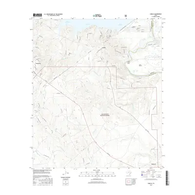
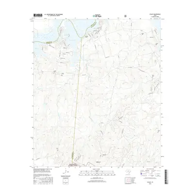
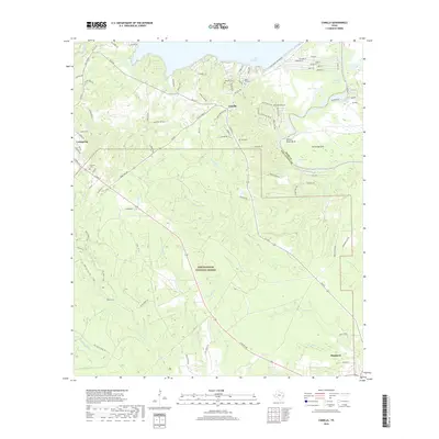
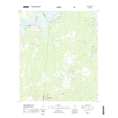
1959 Map of Conroe NE
USGS Topo · Published 1968About this map
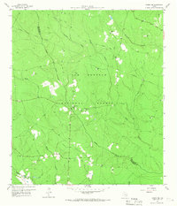
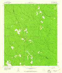
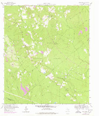
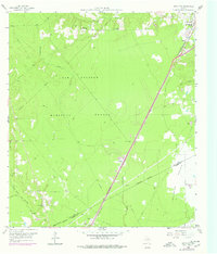
The Sam Houston National Forest dominates this landscape along the border of San Jacinto and Montgomery counties, reflecting a late-1950s era of timber management and rural quietude. The terrain is defined by the winding course of Peach Creek and its many tributaries, such as Turkey Creek and McRae Creek. This network of waterways once supported small timber and agricultural operations, evidenced by the scattered Gravel Pit sites and an Oil Well that hint at the region's burgeoning resource extraction during this period. Local community life is anchored by traditional landmarks like Salem Ch, China Grove Ch, and Hickory Grove Cem. The presence of several old railroad grades suggests an earlier period of heavy logging and transport that helped shape the modern forest boundaries. Small water bodies like Bart Lake provide additional points of interest for those tracing the local hydrography.
Find a feature on this map
22 named features on this map. Tap any name to fly to it.
Don’t see what you’re looking for? This feature index may not catch every label — zoom into the map to look around manually.
Map Details
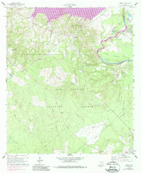
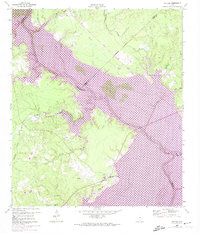
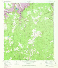
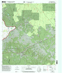
Editions of this 1959 Conroe NE Map
3 editions found
Historical Maps of Montgomery County Through Time
54 maps found
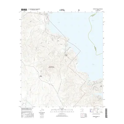
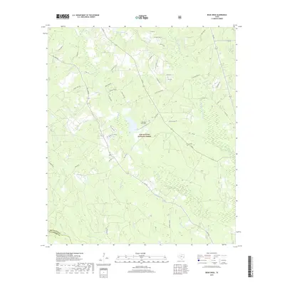
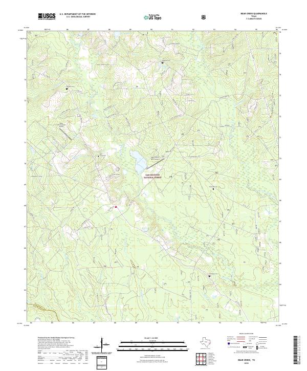
1958 Bear Creek
San Jacinto County, TX
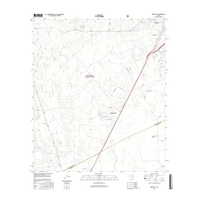
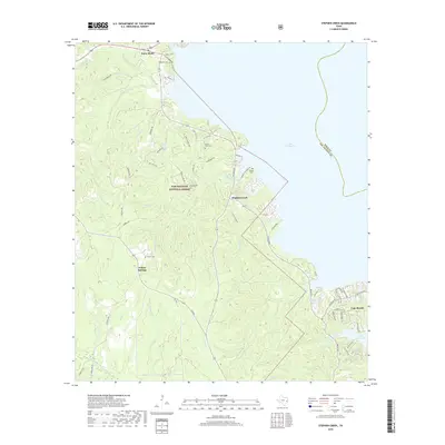
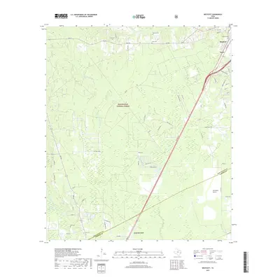
1958 Westcott
San Jacinto County, TX
1959 Conroe NE
San Jacinto County, TX
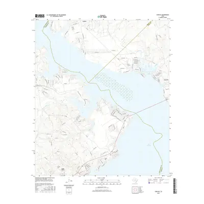
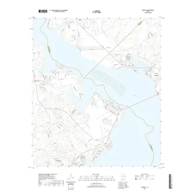
1960 Camilla
San Jacinto County, TX
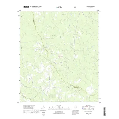
1960 Carlisle
San Jacinto County, TX
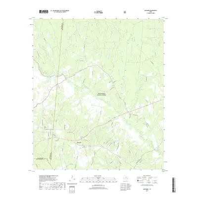
1960 Maynard
San Jacinto County, TX
1960 Stephen Creek
San Jacinto County, TX
1961 Staley
San Jacinto County, TX
1997 Bear Creek
San Jacinto County, TX
1997 Camilla
San Jacinto County, TX
1997 Conroe NE
San Jacinto County, TX
1997 Maynard
San Jacinto County, TX
1997 Staley
San Jacinto County, TX
1997 Stephen Creek
San Jacinto County, TX
2010 Bear Creek
San Jacinto County, TX
2010 Camilla
San Jacinto County, TX
2010 Carlisle
San Jacinto County, TX
2010 Conroe NE
San Jacinto County, TX
2010 Maynard
San Jacinto County, TX
2010 Staley
San Jacinto County, TX
2010 Stephen Creek
San Jacinto County, TX
2010 Westcott
San Jacinto County, TX
2013 Bear Creek
San Jacinto County, TX
2013 Camilla
San Jacinto County, TX
2013 Carlisle
San Jacinto County, TX
2013 Conroe NE
San Jacinto County, TX

2013 Maynard
San Jacinto County, TX
2013 Staley
San Jacinto County, TX
2013 Stephen Creek
San Jacinto County, TX
2013 Westcott
San Jacinto County, TX
2016 Bear Creek
San Jacinto County, TX
2016 Camilla
San Jacinto County, TX
2016 Carlisle
San Jacinto County, TX
2016 Conroe NE
San Jacinto County, TX
2016 Maynard
San Jacinto County, TX
2016 Staley
San Jacinto County, TX
2016 Stephen Creek
San Jacinto County, TX
2016 Westcott
San Jacinto County, TX
2019 Bear Creek
San Jacinto County, TX
2019 Camilla
San Jacinto County, TX
2019 Carlisle
San Jacinto County, TX
2019 Conroe NE
San Jacinto County, TX
2019 Maynard
San Jacinto County, TX
2019 Staley
San Jacinto County, TX
2019 Stephen Creek
San Jacinto County, TX
2019 Westcott
San Jacinto County, TX
2022 Bear Creek
San Jacinto County, TX
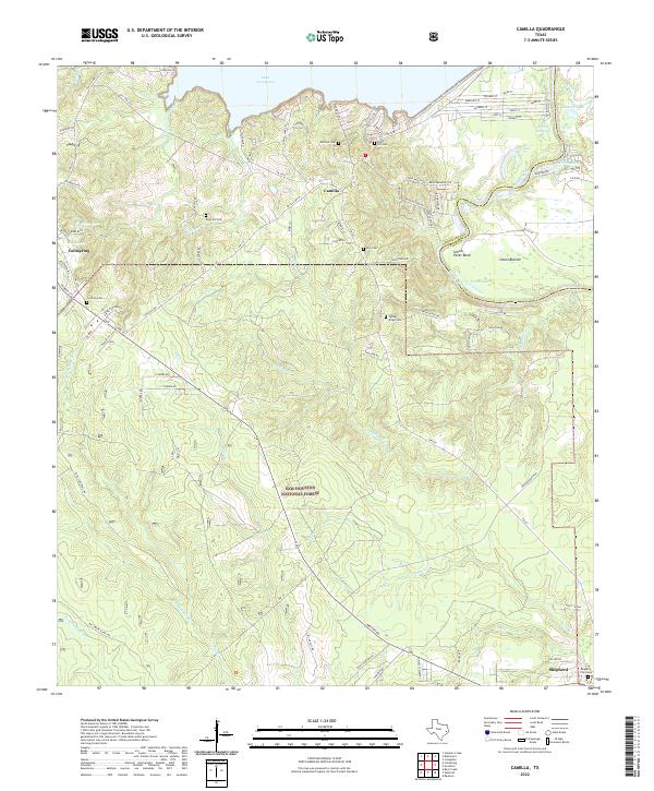
2022 Camilla
San Jacinto County, TX
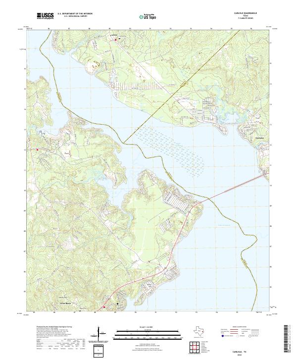
2022 Carlisle
San Jacinto County, TX
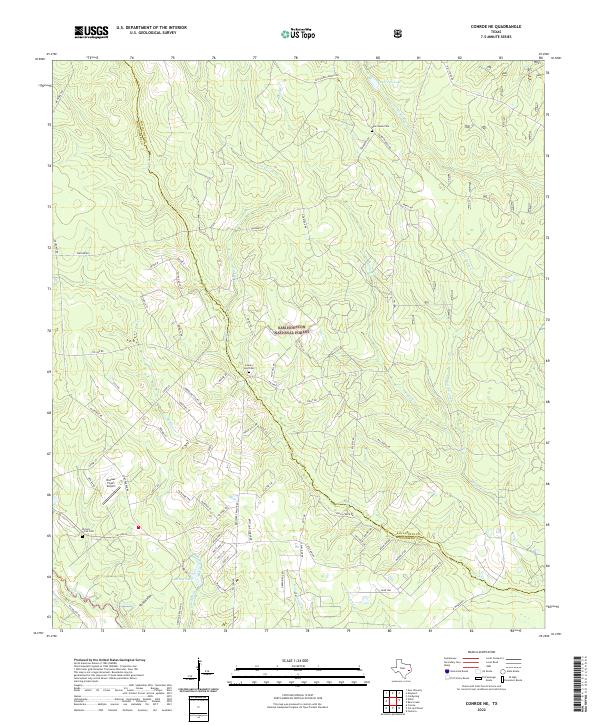
2022 Conroe NE
San Jacinto County, TX
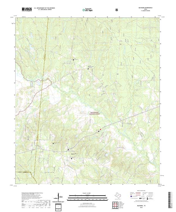
2022 Maynard
San Jacinto County, TX
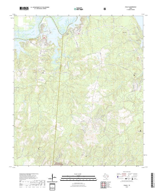
2022 Staley
San Jacinto County, TX
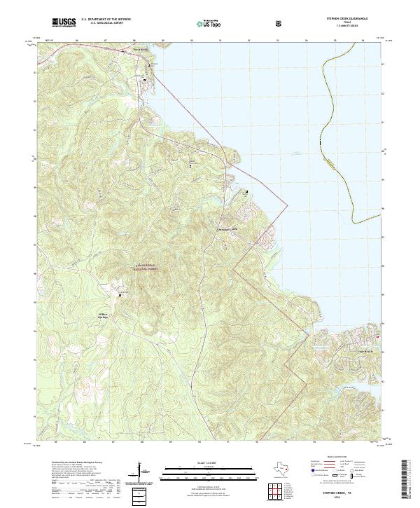
2022 Stephen Creek
San Jacinto County, TX
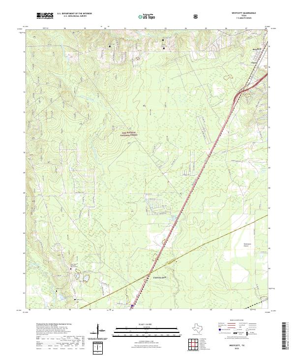
2022 Westcott
San Jacinto County, TX