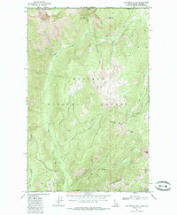
1968 Map of Continental Mtn
USGS Topo · Published 1985About this map
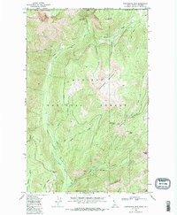
Continental Mine and the McLean Mine anchor the industrial history of this high-elevation terrain along the international boundary between Idaho and British Columbia. Located within the Kaniksu National Forest, the landscape is defined by the sharp divide of Continental Mountain and the deep drainage of the Upper Priest River. The presence of Tailings near Continental Lake and the various jeep and pack trails, such as those crossing Cabinet Pass, indicate a remote mining economy that relied on specific mountain corridors. From the meadows at Hughes Meadows to the heights of Snowy Top and Trapper Peak, the map captures a wilderness area where extraction and high-altitude surveying, marked by the Uslm 1 landmark, were the primary human imprints.
Find a feature on this map
31 named features on this map. Tap any name to fly to it.
Don’t see what you’re looking for? This feature index may not catch every label — zoom into the map to look around manually.
Map Details
Editions of this 1968 Continental Mtn Map
3 editions found
Other maps of this area

1911 · Priest Lake
USGS Topo · 1:250,000

1913 · Priest Lake
USGS Topo · 1:250,000

1934 · Metaline
USGS Topo · 1:125,000

1942 · Metaline
USGS Topo · 1:125,000

1958 · Sandpoint
USGS Topo · 1:250,000

1963 · Sandpoint
USGS Topo · 1:250,000

1967 · Salmo Mtn.
USGS Topo · 1:24,000

1967 · Helmer Mtn
USGS Topo · 1:24,000
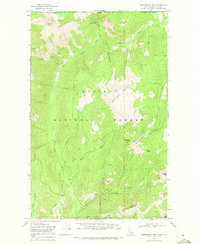
1968 · Continental Mtn
USGS Topo · 1:24,000

1969 · Grass Mountain
USGS Topo · 1:24,000