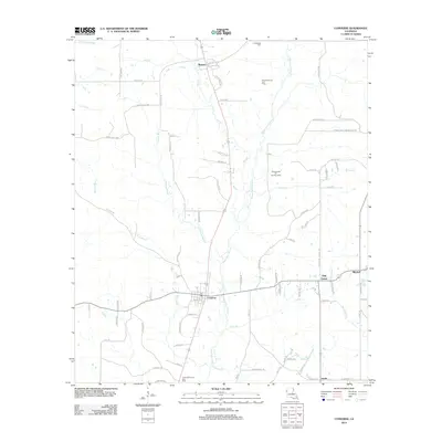
2012 Map of Converse
USGS Topo · Published 2012About this map
The town of Converse serves as the focal point of this Northwest Louisiana landscape, where the local economy is deeply tied to energy extraction. The surrounding countryside is dotted with significant resource zones, including the Benson Oil and Gas Field, the Pleasant Hill Oil and Gas Field, and the Converse Oil and Gas Field. This industrial activity is woven into a complex hydrological network defined by the winding course of Bayou San Patricio and its many tributaries like Liton Br and Spring Br.
Find a feature on this map
83 named features on this map. Tap any name to fly to it.
Don’t see what you’re looking for? This feature index may not catch every label — zoom into the map to look around manually.
Map Details
Editions of this 2012 Converse Map
This is the sole edition of this map. No revisions or reprints were ever made.
Other maps of this area

1941 · Zwolle
USGS Topo · 1:62,500

1941 · Pelican
USGS Topo · 1:62,500

1943 · Pleasant Hill
USGS Topo · 1:62,500

1944 · Logansport
USGS Topo · 1:62,500

1944 · Patroon
USGS Topo · 1:62,500

1944 · Zwolle
USGS Topo · 1:62,500

1944 · Pleasant Hill
USGS Topo · 1:62,500

1953 · Alexandria
USGS Topo · 1:250,000

1955 · Alexandria
USGS Topo · 1:250,000

1956 · Logansport
USGS Topo · 1:62,500