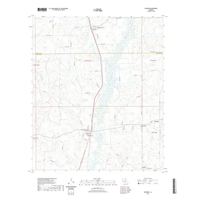
2020 Map of Converse
USGS Topo · Published 2020About this map
Converse serves as a central hub in this Sabine Parish landscape, where the local road network converges around N Railroad St and N Front St. The area's spiritual and family history is anchored by several burial grounds, including the Mary-Springfield Baptist Church Cem and the isolated Sebastian Cem to the north. These sites, along with Union Cem and Benson Cem, provide essential touchpoints for genealogical research in this rural corridor near the De Soto Parish line.
Find a feature on this map
69 named features on this map. Tap any name to fly to it.
Don’t see what you’re looking for? This feature index may not catch every label — zoom into the map to look around manually.
Map Details
Editions of this 2020 Converse Map
This is the sole edition of this map. No revisions or reprints were ever made.
Other maps of this area

1941 · Zwolle
USGS Topo · 1:62,500

1941 · Pelican
USGS Topo · 1:62,500

1943 · Pleasant Hill
USGS Topo · 1:62,500

1944 · Logansport
USGS Topo · 1:62,500

1944 · Patroon
USGS Topo · 1:62,500

1944 · Zwolle
USGS Topo · 1:62,500

1944 · Pleasant Hill
USGS Topo · 1:62,500

1953 · Alexandria
USGS Topo · 1:250,000

1955 · Alexandria
USGS Topo · 1:250,000

1956 · Logansport
USGS Topo · 1:62,500