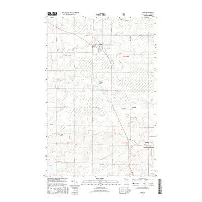
2016 Map of Cook
USGS Topo · Published 2016About this map
Cook functions as the central hub of this northern landscape, situated where the Little Fork River winds through a complex network of wetlands and forested tracts. The settlement pattern is defined by a series of rural roads and family-named routes like Samuelson Rd and Derusha Rd, which connect the town to outlying areas such as Leander and Angora. Evidence of the region's established communities is found in the distribution of burial grounds, including Cook Cem, Little Fork Cem, and Alango Cem, which often serve as the primary markers for local genealogists tracking early families.
Find a feature on this map
53 named features on this map. Tap any name to fly to it.
Don’t see what you’re looking for? This feature index may not catch every label — zoom into the map to look around manually.
Map Details
Editions of this 2016 Cook Map
This is the sole edition of this map. No revisions or reprints were ever made.
Other maps of this area

1951 · Britt
USGS Topo · 1:24,000

1952 · Idington
USGS Topo · 1:24,000

1954 · Hibbing
USGS Topo · 1:250,000

1955 · Dark Lake
USGS Topo · 1:24,000

1957 · Hibbing
USGS Topo · 1:250,000

1958 · Hibbing
USGS Topo · 1:250,000

1964 · Hibbing
USGS Topo · 1:250,000

1964 · Linden Grove
USGS Topo · 1:24,000

1964 · Haley
USGS Topo · 1:24,000

1964 · Gheen
USGS Topo · 1:24,000