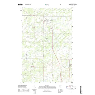
2019 Map of Cook
USGS Topo · Published 2019About this map
The Little Fork River meanders through the heart of this Saint Louis County landscape, providing a natural focal point for the settlement of Cook. The town serves as a local hub, featuring the Cook Municipal Airport and a grid of streets including Vermilion Blvd and N River St. This region is characterized by significant wetlands and a transitioning forest environment, with the Superior National Forest bordering the southeastern corner near Angora.
Find a feature on this map
54 named features on this map. Tap any name to fly to it.
Don’t see what you’re looking for? This feature index may not catch every label — zoom into the map to look around manually.
Map Details
Editions of this 2019 Cook Map
This is the sole edition of this map. No revisions or reprints were ever made.
Other maps of this area

1951 · Britt
USGS Topo · 1:24,000

1952 · Idington
USGS Topo · 1:24,000

1954 · Hibbing
USGS Topo · 1:250,000

1955 · Dark Lake
USGS Topo · 1:24,000

1957 · Hibbing
USGS Topo · 1:250,000

1958 · Hibbing
USGS Topo · 1:250,000

1964 · Hibbing
USGS Topo · 1:250,000

1964 · Linden Grove
USGS Topo · 1:24,000

1964 · Haley
USGS Topo · 1:24,000

1964 · Gheen
USGS Topo · 1:24,000