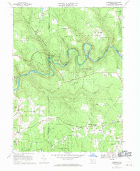
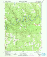
1967 Map of Cooksburg
USGS Topo · Published 1971About this map
Cook Forest State Park and the serpentine bends of the Clarion River dominate this 1967 survey of the borderlands between Clarion, Jefferson, and Forest counties. The map captures a landscape defined by conservation and resource extraction, where protected woodlands sit alongside hundreds of Gas Wells and scattered industrial footprints like the Strip Mine near Thompson Hill. Settlement is concentrated in small pockets such as Cooksburg, while the surrounding ridges are punctuated by family-named landmarks including Fitzgerald Hill, Shawkey Hill, and Songer Hill.
Find a feature on this map
71 named features on this map. Tap any name to fly to it.
Don’t see what you’re looking for? This feature index may not catch every label — zoom into the map to look around manually.
Map Details
Editions of this 1967 Cooksburg Map
5 editions found
Other maps of this area

1906 · Clarion
USGS Topo · 1:62,500

1907 · Clarion
USGS Topo · 1:62,500

1918 · Loleta
USGS Topo · 1:62,500

1922 · Tionesta
USGS Topo · 1:62,500

1924 · Tionesta
USGS Topo · 1:62,500

1924 · Brookville
USGS Topo · 1:62,500

1926 · Brookville
USGS Topo · 1:62,500

1936 · Marienville
USGS Topo · 1:48,000

1941 · Marienville
USGS Topo · 1:62,500

1944 · Brookville
USGS Topo · 1:62,500
Featured Places
- Millcreek Township, PA
- Fisher, PA
- Eldred Township, PA
- Hominy Ridge, Barnett Township
- Farmington Township, PA