
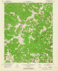
1954 Map of Coopersville
USGS Topo · Published 1955About this map
Coopersville and the winding course of the Little South Fork anchor this mid-century portrait of southern Wayne County. The landscape is defined by the steep escarpments of the Cumberland National Forest, where features like Moody Cliff and Betts Cliff overlook narrow hollows and creek valleys. This era shows a high density of rural community infrastructure, with numerous country schools such as Raleigh Creek Sch and Upper Turkey Creek Sch serving small upland settlements like Pueblo and Gregory. Along the southern border, the South Fork Cumberland River loops through the forest near Slavans, while the presence of scattered Oil Wells near Broiles Hollow points to the region's historical extraction activities. The map provides a detailed record for genealogists, preserving the locations of family-named landmarks and cemeteries like Kidds Crossing Cem and the Dodson Cem.
Find a feature on this map
75 named features on this map. Tap any name to fly to it.
Don’t see what you’re looking for? This feature index may not catch every label — zoom into the map to look around manually.
Map Details
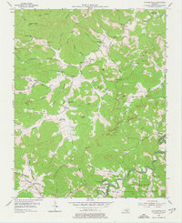
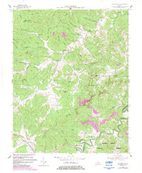
Editions of this 1954 Coopersville Map
4 editions found
Other maps of this area

1911 · Monticello
USGS Topo · 1:62,500

1914 · Monticello
USGS Topo · 1:62,500

1932 · Burnside
USGS Topo · 1:62,500

1934 · Barthell
USGS Topo · 1:62,500

1934 · Pall Mall
USGS Topo · 1:62,500

1953 · Frazer
USGS Topo · 1:24,000

1953 · Monticello
USGS Topo · 1:24,000

1953 · Mill Springs
USGS Topo · 1:24,000

1954 · Parmleysville
USGS Topo · 1:24,000

1954 · Burnside
USGS Topo · 1:24,000