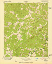
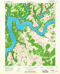
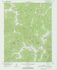
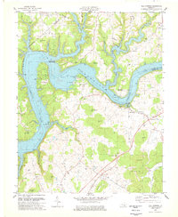
1954 Map of Coopersville
USGS Topo · Published 1955This historical map portrays the area of Coopersville in 1954, primarily covering Wayne County as well as portions of McCreary County. Featuring a scale of 1:24000, this map provides a highly detailed snapshot of the terrain, roads, buildings, counties, and historical landmarks in the Coopersville region at the time. Published in 1955, it is one of 4 known editions of this map due to revisions or reprints.
Find a feature on this map
75 named features on this map. Tap any name to fly to it.
Don’t see what you’re looking for? This feature index may not catch every label — zoom into the map to look around manually.
Map Details
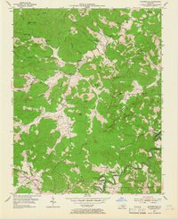
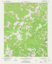
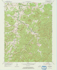
Editions of this 1954 Coopersville Map
4 editions found
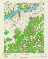
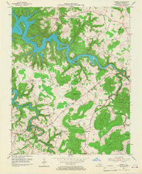
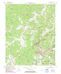
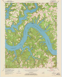
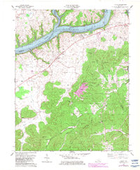
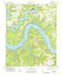
Historical Maps of Ritner Through Time
12 maps found

1934 Pall Mall
Wayne County, KY
1953 Frazer
Wayne County, KY
1953 Mill Springs
Wayne County, KY
1953 Parnell
Wayne County, KY
1954 Coopersville
Wayne County, KY
1954 Jabez
Wayne County, KY
1954 Parmleysville
Wayne County, KY
1954 Powersburg
Wayne County, KY
1978 Frazer
Wayne County, KY
1978 Jabez
Wayne County, KY
1978 Mill Springs
Wayne County, KY
1978 Parnell
Wayne County, KY