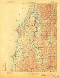
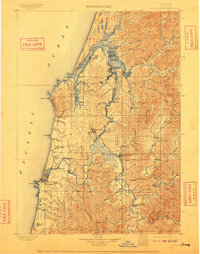
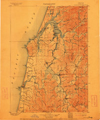
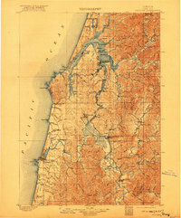
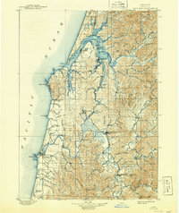
1900 Map of Coos Bay
USGS Topo · Published 1903About this map
The complex estuary of Coos Bay dominates this coastal survey, where the region's early logging and coal-mining industries are written into the landscape. At the turn of the century, the maritime economy was centered around Marshfield, Empire, and the lumber port of North Bend. The intricate network of tidal waters, including Isthmus Slough and Catching Slough, served as the primary transport arteries before a comprehensive road system existed. Further south, the coal-producing area around Beaver Hill and Coaledo is linked by specialized rail spurs to the bay, highlighting the industrial character of the era.
Find a feature on this map
134 named features on this map. Tap any name to fly to it.
Don’t see what you’re looking for? This feature index may not catch every label — zoom into the map to look around manually.
Map Details
Editions of this 1900 Coos Bay Map
7 editions found
Other maps of this area

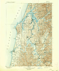
1896 · Coos Bay
USGS Topo · 1:125,000

1898 · Coos Bay
USGS Topo · 1:125,000

1899 · Port Orford
USGS Topo · 1:125,000

1900 · Coos Bay
USGS Topo · 1:125,000

1903 · Port Orford
USGS Topo · 1:125,000

1923 · Reedsport
USGS Topo · 1:62,500

1928 · Sitkum
USGS Topo · 1:125,000
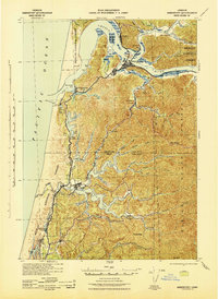
1942 · Reedsport
USGS Topo · 1:62,500
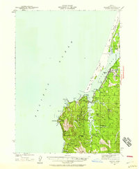
1942 · Empire
USGS Topo · 1:62,500

1942 · Coquille
USGS Topo · 1:62,500