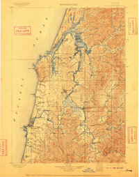
1900 Map of Coos Bay
USGS Topo · Published 1909About this map
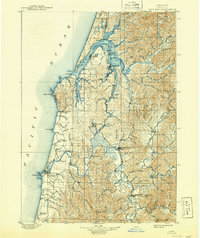
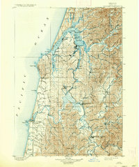
The maritime and industrial activity of the southern Oregon coast is centered here at Coos Bay, where a complex network of sloughs and river forks facilitated the region's early logging and coal mining economies. Marshfield and Empire serve as the primary hubs, while the inland reach of Isthmus Slough and Coalbank Slough points toward the resource-rich hills. The transportation infrastructure of the era is dominated by the Coos Bay Roseburg & Eastern Rr & Nav Co, which links the coal mining operations at Beaver Hill and Coaledo to the coast. Along the Coquille River to the south, settlements like Bandon, Prosper, and Myrtle Point reflect a landscape defined by river traffic and the Randolph Trail. From the lighthouse at Cape Arago to the timbered slopes of Blue Mountain, the map details a period when waterways were the primary arteries of commerce.
Find a feature on this map
105 named features on this map. Tap any name to fly to it.
Don’t see what you’re looking for? This feature index may not catch every label — zoom into the map to look around manually.
Map Details
Editions of this 1900 Coos Bay Map
7 editions found
Other maps of this area

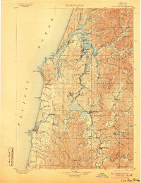
1896 · Coos Bay
USGS Topo · 1:125,000

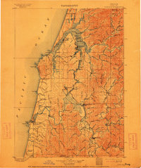
1898 · Coos Bay
USGS Topo · 1:125,000

1899 · Port Orford
USGS Topo · 1:125,000

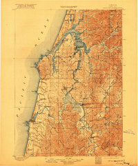
1900 · Coos Bay
USGS Topo · 1:125,000

1903 · Port Orford
USGS Topo · 1:125,000

1923 · Reedsport
USGS Topo · 1:62,500

1928 · Sitkum
USGS Topo · 1:125,000

1942 · Reedsport
USGS Topo · 1:62,500

1942 · Empire
USGS Topo · 1:62,500

1942 · Coquille
USGS Topo · 1:62,500