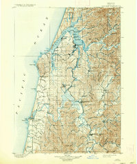
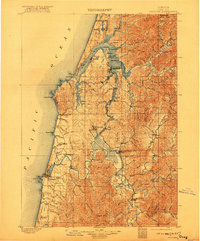
1900 Map of Coos Bay
USGS Topo · Published 1937About this map
Coos Bay and the winding Coquille River define this coastal landscape at the end of the nineteenth century, showing a region shaped by its intricate waterways. The settlement of Marshfield serves as a primary hub on the bay, surrounded by an extensive network of tidal channels including Isthmus Slough, Coalbank Slough, and Catching Slough. Further south, the map details the riverfront towns of Coquille, Riverton, and Prosper, leading toward the coastal port of Bandon at the river's mouth.
Find a feature on this map
108 named features on this map. Tap any name to fly to it.
Don’t see what you’re looking for? This feature index may not catch every label — zoom into the map to look around manually.
Map Details
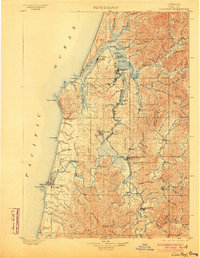
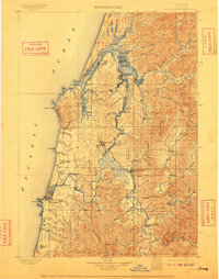
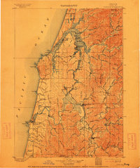
Editions of this 1900 Coos Bay Map
7 editions found
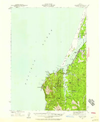
Other maps of this area

1896 · Coos Bay
USGS Topo · 1:125,000

1898 · Coos Bay
USGS Topo · 1:125,000

1899 · Port Orford
USGS Topo · 1:125,000

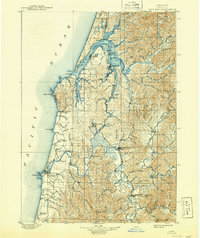
1900 · Coos Bay
USGS Topo · 1:125,000

1903 · Port Orford
USGS Topo · 1:125,000

1923 · Reedsport
USGS Topo · 1:62,500

1928 · Sitkum
USGS Topo · 1:125,000
1942 · Reedsport
USGS Topo · 1:62,500
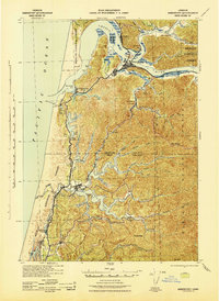
1942 · Empire
USGS Topo · 1:62,500

1942 · Coquille
USGS Topo · 1:62,500