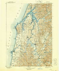
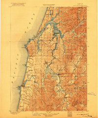
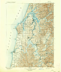
1900 Map of Coos Bay
USGS Topo · Published 1937About this map
The intricate waterways of Coos Bay and the Coquille River define this late 19th-century coastal landscape, showing a network of sloughs and timber-driven settlements. In an era when water transit was paramount, centers like Marshfield, Empire, and North Bend anchor the northern bay, while the Southern Pacific railroad begins to lace together the interior river valleys. The map documents early industrial footprints such as the mining at Beaver Hill and the connection between Beaverton and Coaledo.
Find a feature on this map
124 named features on this map. Tap any name to fly to it.
Don’t see what you’re looking for? This feature index may not catch every label — zoom into the map to look around manually.
Map Details
Editions of this 1900 Coos Bay Map
7 editions found
Other maps of this area

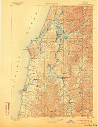
1896 · Coos Bay
USGS Topo · 1:125,000

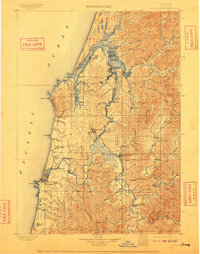
1898 · Coos Bay
USGS Topo · 1:125,000

1899 · Port Orford
USGS Topo · 1:125,000

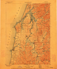
1900 · Coos Bay
USGS Topo · 1:125,000

1903 · Port Orford
USGS Topo · 1:125,000

1923 · Reedsport
USGS Topo · 1:62,500

1928 · Sitkum
USGS Topo · 1:125,000

1942 · Reedsport
USGS Topo · 1:62,500

1942 · Empire
USGS Topo · 1:62,500

1942 · Coquille
USGS Topo · 1:62,500