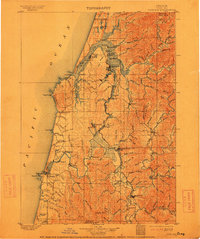
1900 Map of Coos Bay
USGS Topo · Published 1913About this map
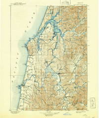
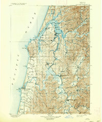
Coos Bay and its intricate network of sloughs dominate this turn-of-the-century coastal landscape, showing a region deeply tied to its waterways. Major hubs like Marshfield and Empire serve as the primary coastal settlements, while the interior is dotted with riverine towns such as Coquille and Myrtle Point. The map captures an era of overland transit via the Randolph Trail and industrial activity at Beaver Hill. The geography is defined by complex inlets like Isthmus Slough and Catching Slough, which provided essential transport routes before modern road systems were established. In the south, the Coquille River winds past small lumber and fishing outposts including Prosper, Parkersburg, and Riverton. Along the rugged Pacific coast, landmarks like Cape Arago and Coquille Pt. anchor a shoreline that remained largely undeveloped under the protection of the Siuslaw National Forest.
Find a feature on this map
130 named features on this map. Tap any name to fly to it.
Don’t see what you’re looking for? This feature index may not catch every label — zoom into the map to look around manually.
Map Details
Editions of this 1900 Coos Bay Map
7 editions found
Other maps of this area

1896 · Coos Bay
USGS Topo · 1:125,000

1898 · Coos Bay
USGS Topo · 1:125,000

1899 · Port Orford
USGS Topo · 1:125,000

1900 · Coos Bay
USGS Topo · 1:125,000

1903 · Port Orford
USGS Topo · 1:125,000

1923 · Reedsport
USGS Topo · 1:62,500

1928 · Sitkum
USGS Topo · 1:125,000

1942 · Reedsport
USGS Topo · 1:62,500

1942 · Empire
USGS Topo · 1:62,500

1942 · Coquille
USGS Topo · 1:62,500