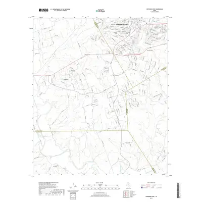
2019 Map of Copperas Cove
USGS Topo · Published 2019About this map
The Lampasas River meanders across the southern portion of this landscape, marking the intersection of four Texas counties: Coryell, Lampasas, Bell, and Burnet. This area is defined by the significant elevation changes of the Texas Hill Country, featuring prominent landmarks such as Taylor Mtn, Sevenmile Mtn, and the pass at Ogletree Gap. The city of Copperas Cove dominates the northern reaches, showing a modern grid of residential streets and arterial roads like Highway Ave and Veterans Ave.
Find a feature on this map
207 named features on this map. Tap any name to fly to it.
Don’t see what you’re looking for? This feature index may not catch every label — zoom into the map to look around manually.
Map Details
Editions of this 2019 Copperas Cove Map
This is the sole edition of this map. No revisions or reprints were ever made.
Other maps of this area

1887 · Lampasas
USGS Topo · 1:125,000

1887 · Burnet
USGS Topo · 1:125,000

1893 · Georgetown
USGS Topo · 1:125,000

1893 · Burnet
USGS Topo · 1:125,000

1894 · Lampasas
USGS Topo · 1:125,000

1894 · Gatesville
USGS Topo · 1:125,000

1903 · Burnet
USGS Topo · 1:125,000

1909 · Burnet
USGS Topo · 1:125,000

1947 · Fort Hood
USGS Topo · 1:62,500

1947 · Fort Hood
USGS Topo · 1:24,000