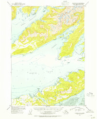
1953 Map of Cordova C-6
USGS Topo · Published 1954About this map
Parshas stands as the primary named settlement on this coastal survey, situated along the complex shoreline of Port Gravina. The map details the intricate maritime geography of Prince William Sound, where deep inlets and narrow passages define the relationship between the sea and the Chugach National Forest. The southern portion of the sheet is dominated by the northern reaches of Hawkins Island, separated from the mainland by the winding waters of Canoe Passage. Nautical researchers will find significant depth soundings throughout Orca Bay and Sheep Bay, alongside specific navigation hazards like Gatherer Rock and Bomb Pt. The survey also documents numerous triangulation stations, marked as VABM points, which provided the essential control for mapping this portion of the Alaska judicial division during the early 1950s.
Find a feature on this map
35 named features on this map. Tap any name to fly to it.
Don’t see what you’re looking for? This feature index may not catch every label — zoom into the map to look around manually.
Map Details
Editions of this 1953 Cordova C-6 Map
2 editions found

Other maps of this area

1948 · Cordova
USGS Topo · 1:250,000

1950 · Cordova C-7
USGS Topo · 1:63,360

1950 · Cordova C-6
USGS Topo · 1:63,360

1950 · Cordova B-7
USGS Topo · 1:63,360

1950 · Cordova D-7
USGS Topo · 1:63,360

1950 · Cordova D-5
USGS Topo · 1:63,360

1951 · Cordova
USGS Topo · 1:250,000

1951 · Cordova C-5
USGS Topo · 1:63,360

1951 · Cordova B-5
USGS Topo · 1:63,360

1951 · Cordova D-6
USGS Topo · 1:63,360