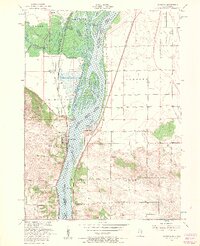
1953 Map of Cordova
USGS Topo · Published 1957About this map
The Mississippi River creates a dynamic border between Iowa and Illinois in this mid-century survey, defining the industrial and social life of riverfront communities. On the Illinois bank, Cordova and Port Byron sit at the water's edge, while Princeton occupies the Iowa side. The landscape is marked by a legacy of local education and faith, evidenced by rural landmarks like Grassy Lane School, Williams School, and Fairfield Church. The river itself is complex, featuring the Cordova Slough and Adams Island, alongside the vast Upper Mississippi River Wildlife and Fish Refuge.
Find a feature on this map
36 named features on this map. Tap any name to fly to it.
Don’t see what you’re looking for? This feature index may not catch every label — zoom into the map to look around manually.
Map Details
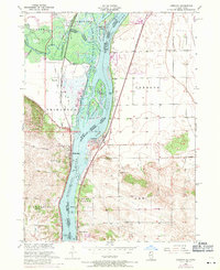
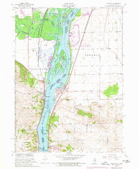
Editions of this 1953 Cordova Map
3 editions found
Other maps of this area

1891 · Clinton
USGS Topo · 1:62,500

1892 · Goose Lake
USGS Topo · 1:62,500

1892 · Leclaire
USGS Topo · 1:62,500

1893 · Leclaire
USGS Topo · 1:62,500

1894 · Goose Lake
USGS Topo · 1:62,500

1894 · Clinton
USGS Topo · 1:62,500

1899 · Clinton
USGS Topo · 1:125,000

1949 · Silvis
USGS Topo · 1:24,000

1949 · Port Byron
USGS Topo · 1:24,000

1950 · Port Byron
USGS Topo · 1:24,000