
1955 Map of Corley
USGS Topo · Published 1955About this map
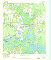
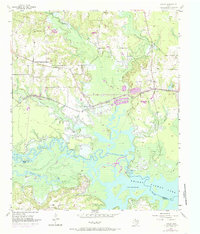
The Sulphur River and its backwater at Lake Texarkana define the southern landscape of this 1955 survey of Bowie County. Along the river bottoms and the rising ground of White Oak Ridge, the map reveals a mid-century rural infrastructure dominated by the St Louis Southwestern railroad. Significant for genealogists, the sheet preserves the locations of several small community anchors, including Old Union and its adjacent Old Union Cem, as well as Mt Pleasant Ch and Prospect Ch.
Find a feature on this map
29 named features on this map. Tap any name to fly to it.
Don’t see what you’re looking for? This feature index may not catch every label — zoom into the map to look around manually.
Map Details
Editions of this 1955 Corley Map
Other maps of this area

1909 · New Boston
USGS Topo · 1:62,500

1910 · Linden
USGS Topo · 1:62,500

1914 · Daingerfield
USGS Topo · 1:62,500

1930 · Bassett
USGS Topo · 1:62,500

1953 · Texarkana
USGS Topo · 1:250,000

1954 · New Boston
USGS Topo · 1:24,000

1954 · Hooks
USGS Topo · 1:24,000

1955 · Maud
USGS Topo · 1:24,000

1955 · New Boston
USGS Topo · 1:62,500

1956 · Texarkana
USGS Topo · 1:250,000