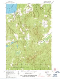
1964 Map of Cornucopia
USGS Topo · Published 1992About this map
The settlement of Cornucopia anchors this 1964 survey of the South Shore, situated at the edge of Siskiwit Bay on Lake Superior. The landscape transitions from the coastal harbor near the Light and Wayside Park to the dense timber of the Chequamegon National Forest in the south. The area’s geography is defined by a network of drainage systems, including Siskiwit River and Lost Creek, and a cluster of inland waters such as Siskiwit Lake and Perch Lake. Local history is preserved in landmarks like Bell Cem and St Anthony Ch, while several Gravel Pits indicate the importance of the extractive industry to the local economy. The map also delineates the civil boundaries for the towns of Bell, Bayfield, and Bayview, providing a clear record of jurisdictional lines during the mid-1960s.
Find a feature on this map
20 named features on this map. Tap any name to fly to it.
Don’t see what you’re looking for? This feature index may not catch every label — zoom into the map to look around manually.
Map Details
Editions of this 1964 Cornucopia Map
3 editions found
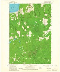
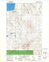
Other maps of this area

1941 · Bayfield
USGS Topo · 1:48,000

1942 · Ashland
USGS Topo · 1:48,000

1944 · Moquah
USGS Topo · 1:48,000

1944 · Cornucopia
USGS Topo · 1:48,000

1946 · Cornucopia
USGS Topo · 1:48,000

1946 · Bayfield
USGS Topo · 1:48,000

1947 · Moquah
USGS Topo · 1:48,000

1947 · Ashland
USGS Topo · 1:48,000

1953 · Ashland
USGS Topo · 1:250,000

1958 · Ashland
USGS Topo · 1:250,000